Transport Functions
Rail
Road
Hub Profile
Place type
Populated place
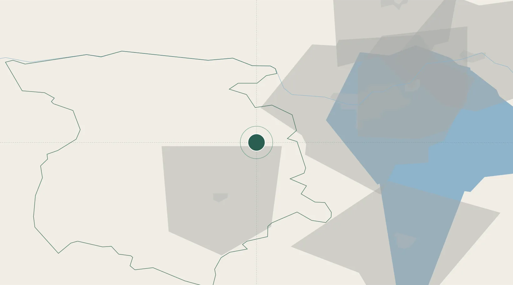
Region
Marijampolė County
Population
5,666
Time zone
Europe/Vilnius
Elevation
69 m
Location
Nearby Logistics Neighbours
Cities
- 1Sestokai45 km
- 2Mockava50 km
- 3Kybartai51 km
- 4Stakliskes56 km
- 5Jonava59 km
Ports
- 1Klaipeda184 km
- 2Kaliningrad194 km
- 3Butinge Oil Terminal214 km
- 4Baltiysk232 km
- 5Riga246 km
Airports
- 1Kaunas International Airport43 km
- 2Jonava Air Base62 km
- 3Kėdainiai Air Base67 km
- 4Chernyakhovsk Naval Air Base112 km
- 5Vilnius International Airport116 km
Trade Zones
DatabookThe Record of Consolidated Knowledge
Lithuania beyond logistics?