Transport Functions
Rail
Hub Profile
Place type
Populated place
Region
Alytus
Time zone
Europe/Vilnius
Elevation
121 m
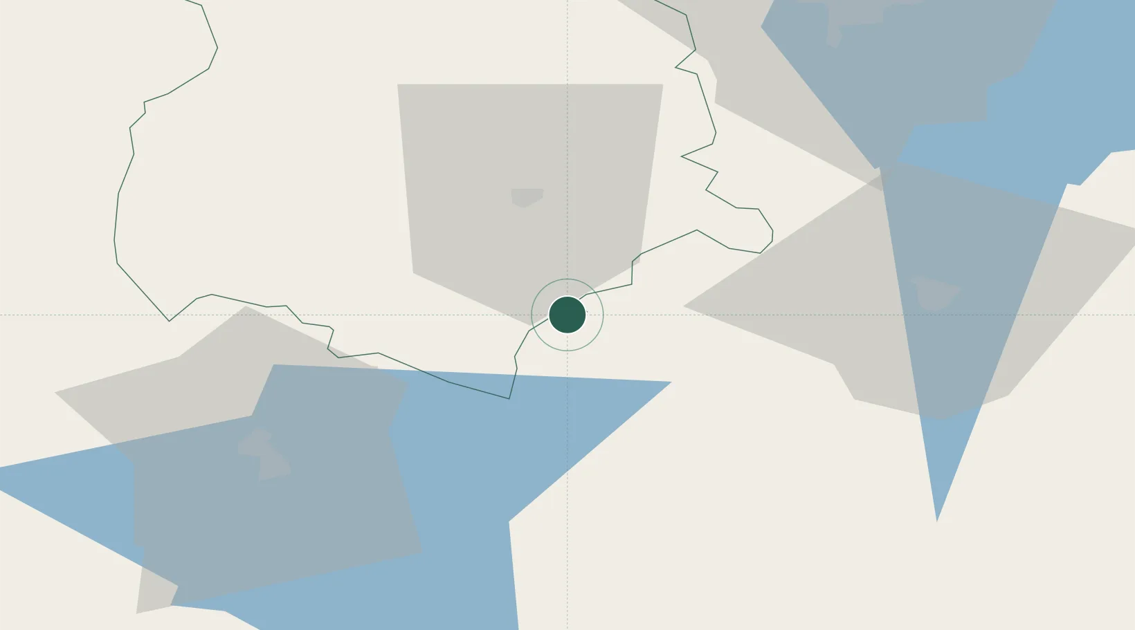
Location
Nearby Logistics Neighbours
Cities
- 1Mockava9 km
- 2Trakiszki21 km
- 3Kazlu Ruda45 km
- 4Kybartai54 km
- 5Stakliskes63 km
Ports
- 1Kaliningrad194 km
- 2Klaipeda211 km
- 3Baltiysk230 km
- 4Butinge Oil Terminal243 km
- 5Liepaja284 km
Airports
- 1Kaunas International Airport79 km
- 2Jonava Air Base93 km
- 3Hrodna Airport94 km
- 4Chernyakhovsk Naval Air Base110 km
- 5Kėdainiai Air Base110 km
Trade Zones
DatabookThe Record of Consolidated Knowledge
Lithuania beyond logistics?