Transport Functions
Port
Road
Hub Profile
Place type
District seat
Region
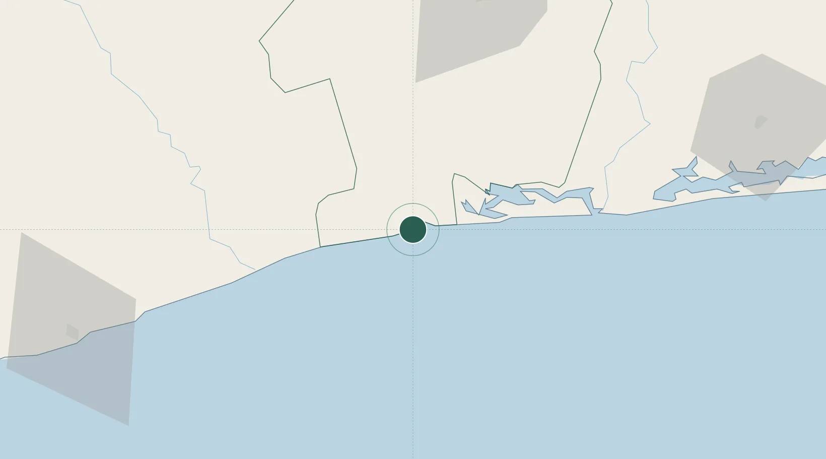
Bas-Sassandra District
Time zone
Africa/Abidjan
Elevation
69 m
Location
Nearby Logistics Neighbours
Cities
- 1Gbabam43 km
- 2Grand Lahou61 km
- 3Baobab Terminal114 km
- 4San-Pédro123 km
- 5Jacqueville128 km
Ports
- 1Baobab Marine Terminal113 km
- 2San Pedro122 km
- 3Espoir Marine Terminal124 km
- 4Abidjan173 km
- 5Port Bouet178 km
Airports
- 1San Pedro Airport127 km
- 2Félix-Houphouët-Boigny International Airport183 km
- 3Yamoussoukro International Airport204 km
- 4Daloa Airport215 km
- 5Bouaké Airport300 km
Trade Zones
- 1San Pedro Economic Zone124 km
- 2PK 24 Industrial Park161 km
- 3Vridi Industrial Park175 km
- 4Koumassi Industrial Park181 km
- 5Yamoussoukro Industrial Park188 km
DatabookThe Record of Consolidated Knowledge
Côte d’Ivoire beyond logistics?