UN/LOCODE hub · Côte d’Ivoire
CIGLU
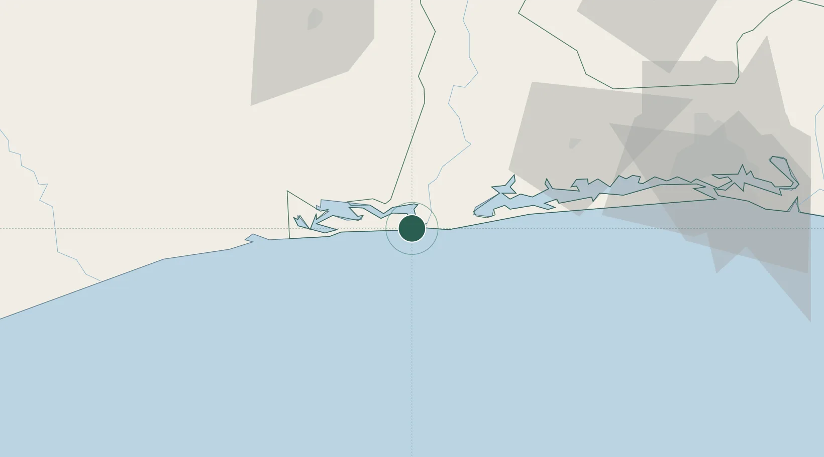
Grand Lahou
5.1333°, -5.0167°
36,906
Population
2
Transport functions
Transport Functions
Port
Road
Hub Profile
Place type
District seat
Region
Lagunes District
Population
36,906
Time zone
Africa/Abidjan
Elevation
72 m
Location
Nearby Logistics Neighbours
Cities
- 1Baobab Terminal56 km
- 2Fresco61 km
- 3Jacqueville67 km
- 4Espoir71 km
- 5Gbabam73 km
Ports
- 1Baobab Marine Terminal55 km
- 2Espoir Marine Terminal63 km
- 3Abidjan112 km
- 4Port Bouet117 km
- 5San Pedro182 km
Airports
- 1Félix-Houphouët-Boigny International Airport122 km
- 2San Pedro Airport187 km
- 3Yamoussoukro International Airport201 km
- 4Daloa Airport245 km
- 5Bouaké Airport290 km
Trade Zones
- 1PK 24 Industrial Park100 km
- 2Vridi Industrial Park113 km
- 3Koumassi Industrial Park120 km
- 4Mahatma Ghandi Free Trade Zone140 km
- 5Bonoua Industrial Park161 km
DatabookThe Record of Consolidated Knowledge
Côte d’Ivoire beyond logistics?