Transport Functions
Port
Hub Profile
Place type
Populated place
Region
Eastern Province
Time zone
Asia/Colombo
Elevation
9 m
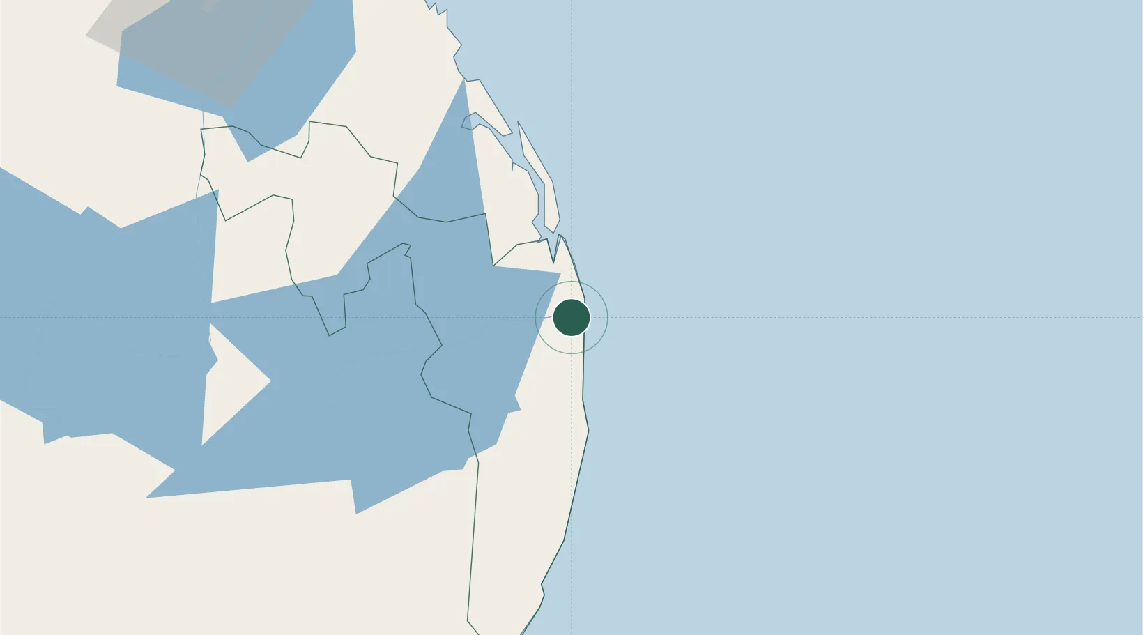
Location
Nearby Logistics Neighbours
Cities
- 1Kondavattavan24 km
- 2Hatton147 km
- 3Hambantota153 km
- 4Kurunegala167 km
- 5Katuwawala171 km
Ports
- 1Hambantota152 km
- 2Trincomalee Harbor157 km
- 3Colombo224 km
- 4Galle Harbor227 km
- 5Kankesanturai344 km
Airports
- 1Ampara Airport26 km
- 2Batticaloa International Airport51 km
- 3Tissa Tank Waterdrome127 km
- 4Hingurakgoda Air Force Base128 km
- 5Polgolla Reservoir Seaplane Base133 km
Trade Zones
DatabookThe Record of Consolidated Knowledge
Sri Lanka beyond logistics?