Runway & Layout
Airport Specifications
IATA code
KDZ
Airport class
Seaplane base
Scheduled service
Yes
Served city
Kandy
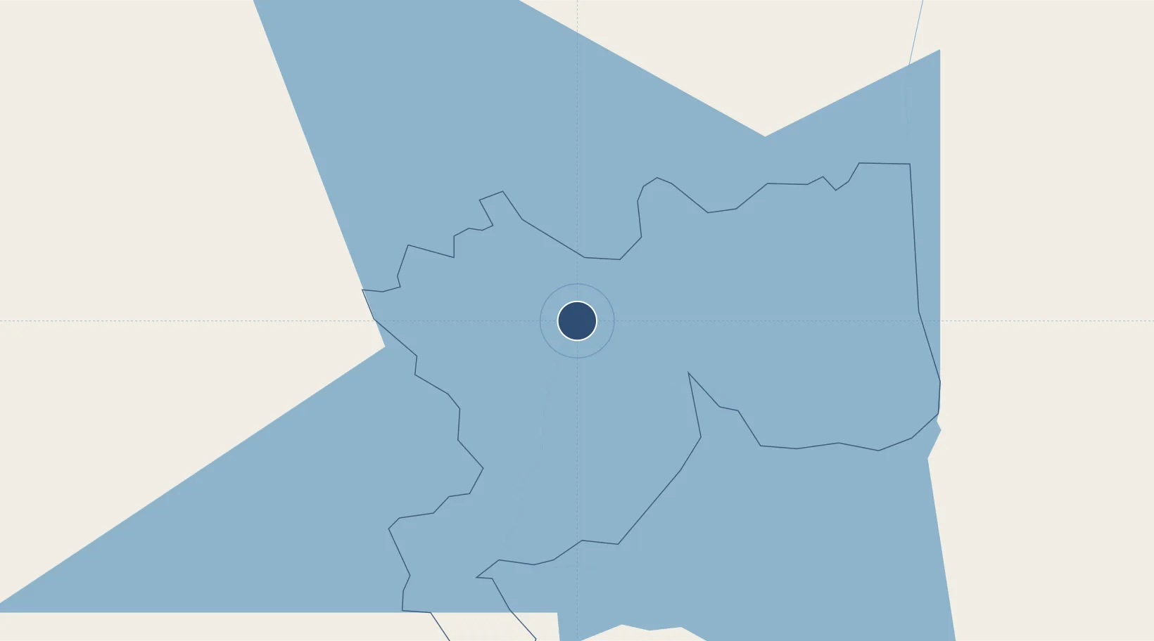
Location
Nearby Logistics Neighbours
Airports
Cities
- 1Kurunegala37 km
- 2Hatton50 km
- 3Bogahawatta53 km
- 4Walpola55 km
- 5Avissawella63 km
Ports
- 1Colombo97 km
- 2Hambantota145 km
- 3Trincomalee Harbor150 km
- 4Galle Harbor151 km
- 5Kankesanturai285 km
Trade Zones
DatabookThe Record of Consolidated Knowledge
Sri Lanka beyond logistics?