Transport Functions
Port
Road
Hub Profile
Place type
Populated place
Region
Eastern Province
Time zone
Asia/Colombo
Elevation
29 m
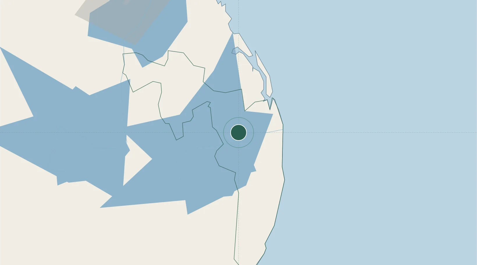
Location
Nearby Logistics Neighbours
Cities
- 1Oluvil24 km
- 2Hatton124 km
- 3Hambantota142 km
- 4Kurunegala143 km
- 5Walpola151 km
Ports
- 1Hambantota141 km
- 2Trincomalee Harbor148 km
- 3Colombo200 km
- 4Galle Harbor208 km
- 5Kankesanturai331 km
Airports
- 1Ampara Airport6 km
- 2Batticaloa International Airport47 km
- 3Polgolla Reservoir Seaplane Base109 km
- 4Hingurakgoda Air Force Base112 km
- 5Tissa Tank Waterdrome117 km
Trade Zones
DatabookThe Record of Consolidated Knowledge
Sri Lanka beyond logistics?