Runway & Layout

Airport Specifications
IATA code
HIM
ICAO code
VCCH
Airport class
Medium airport
Scheduled service
No
Served city
Polonnaruwa Town
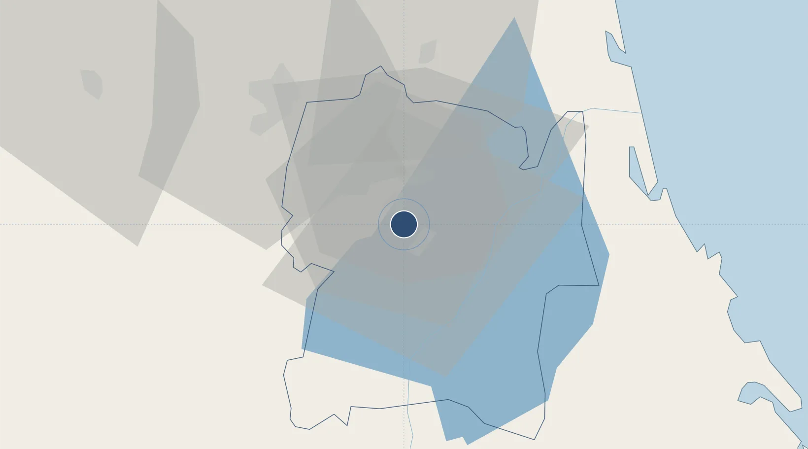
Location
Nearby Logistics Neighbours
Airports
- 1China Bay Airport59 km
- 2Anuradhapura Airport67 km
- 3Batticaloa International Airport86 km
- 4Polgolla Reservoir Seaplane Base89 km
- 5Ampara Airport106 km
Cities
- 1Gampola88 km
- 2Kurunegala94 km
- 3Kondavattavan112 km
- 4Bogahawatta123 km
- 5Oluvil128 km
Ports
- 1Trincomalee Harbor61 km
- 2Colombo175 km
- 3Hambantota216 km
- 4Kankesanturai222 km
- 5Galle Harbor239 km
Trade Zones
DatabookThe Record of Consolidated Knowledge
Sri Lanka beyond logistics?