Transport Functions
Multimodal
Hub Profile
Place type
Regional capital
Region
North Western Province
Population
28,571
Time zone
Asia/Colombo
Elevation
146 m
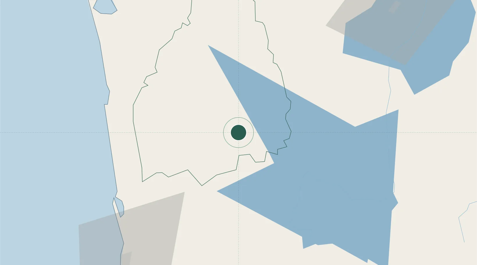
Location
Nearby Logistics Neighbours
Cities
- 1Bogahawatta29 km
- 2Kalagedihena53 km
- 3Lunuwila58 km
- 4Walpola58 km
- 5Andiambalama60 km
Ports
- 1Colombo81 km
- 2Trincomalee Harbor152 km
- 3Galle Harbor162 km
- 4Hambantota175 km
- 5Kankesanturai262 km
Airports
Trade Zones
DatabookThe Record of Consolidated Knowledge
Sri Lanka beyond logistics?