Transport Functions
Rail
Road
Hub Profile
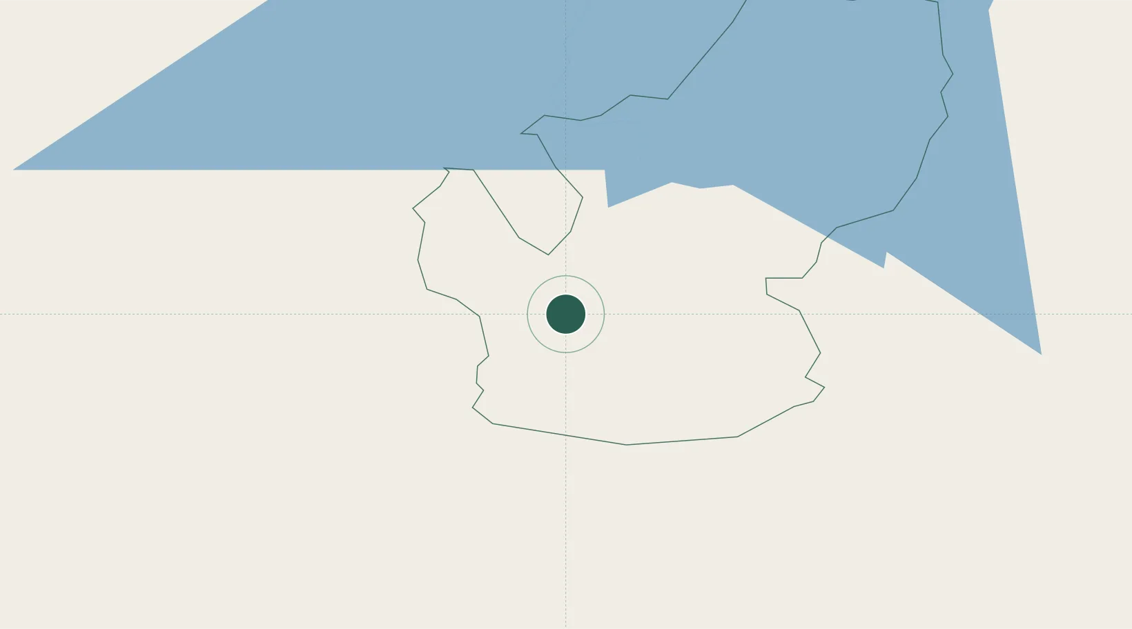
Place type
Populated place
Region
Central Province
Population
15,073
Time zone
Asia/Colombo
Elevation
1,271 m
Location
Nearby Logistics Neighbours
Cities
- 1Walpola33 km
- 2Avissawella41 km
- 3Neboda64 km
- 4Kalagedihena64 km
- 5Weliweriya65 km
Ports
- 1Colombo81 km
- 2Galle Harbor102 km
- 3Hambantota105 km
- 4Trincomalee Harbor198 km
- 5Kankesanturai331 km
Airports
Trade Zones
DatabookThe Record of Consolidated Knowledge
Sri Lanka beyond logistics?