Medium airport · Sri Lanka
Ampara AirportVCCG
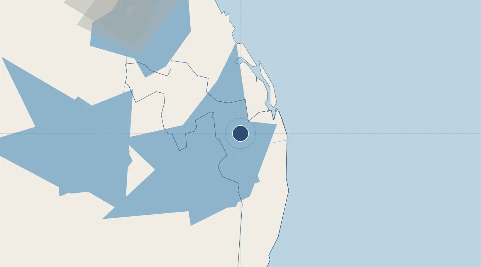
7.3367°, 81.6239°
3,600 ft
Longest runway
1
Runways
150 ft
Elevation
Runway & Layout

Radio Frequencies
RDO
118.1 MHz
GAL OYA RDO
Runways · 1
| Runway | Dimensions | Surface | True heading | Lit |
|---|---|---|---|---|
| 07/25 | 3,600 × 151ft | Asphalt | 065° | — |
Airport Specifications
IATA code
ADP
ICAO code
VCCG
Airport class
Medium airport
Scheduled service
No
Runway surface
Asphalt
Served city
Ampara
Location
Nearby Logistics Neighbours
Airports
Cities
- 1Kondavattavan6 km
- 2Oluvil26 km
- 3Hatton125 km
- 4Kurunegala141 km
- 5Hambantota147 km
Ports
- 1Trincomalee Harbor142 km
- 2Hambantota146 km
- 3Colombo200 km
- 4Galle Harbor212 km
- 5Kankesanturai326 km
Trade Zones
DatabookThe Record of Consolidated Knowledge
Sri Lanka beyond logistics?