Medium airport · Sri Lanka
Batticaloa International AirportVCCB
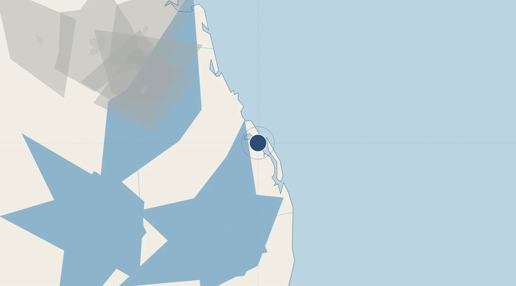
7.7051°, 81.6772°
5,118 ft
Longest runway
1
Runways
20 ft
Elevation
Runway & Layout

Radio Frequencies
TWR
118.1 MHz
Navaids
BAT NDB Batticaloa 320 kHz
Runways · 1
| Runway | Dimensions | Surface | True heading | Lit |
|---|---|---|---|---|
| 06/24 | 5,118 × 151ft | Bitumen | 061° | ✓ |
Airport Specifications
IATA code
BTC
ICAO code
VCCB
Airport class
Medium airport
Scheduled service
Yes
Runway surface
Bitumen
Served city
Batticaloa
Location
Nearby Logistics Neighbours
Airports
- 1Ampara Airport41 km
- 2Hingurakgoda Air Force Base86 km
- 3China Bay Airport108 km
- 4Polgolla Reservoir Seaplane Base122 km
- 5Anuradhapura Airport153 km
Cities
- 1Kondavattavan47 km
- 2Oluvil51 km
- 3Kurunegala148 km
- 4Hatton151 km
- 5Gampola169 km
Ports
- 1Trincomalee Harbor107 km
- 2Hambantota187 km
- 3Colombo218 km
- 4Galle Harbor245 km
- 5Kankesanturai295 km
Trade Zones
- 1Kandy Export Processing Zone115 km
- 2Kandy Industrial Park116 km
- 3Magathawama Export Processing Zone138 km
- 4Polgahawela Export Processing Zone156 km
- 5MAS Fabric Park168 km
DatabookThe Record of Consolidated Knowledge
Sri Lanka beyond logistics?