Transport Functions
Multimodal
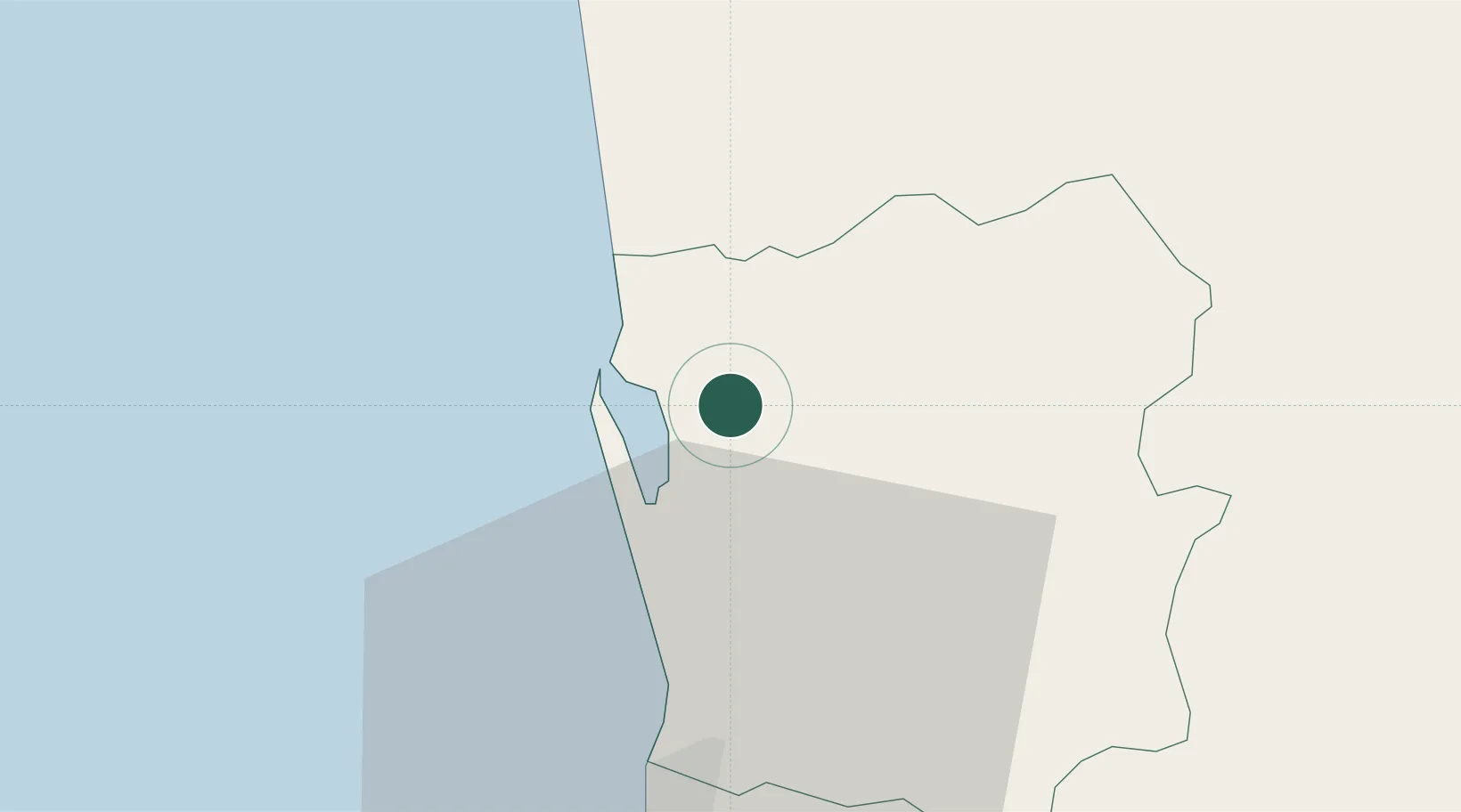
Hub Profile
Place type
Populated place
Region
Western Province
Time zone
Asia/Colombo
Elevation
23 m
Location
Nearby Logistics Neighbours
Ports
- 1Colombo27 km
- 2Galle Harbor133 km
- 3Hambantota181 km
- 4Trincomalee Harbor210 km
- 5Tuticorin262 km
Airports
DatabookThe Record of Consolidated Knowledge
Sri Lanka beyond logistics?