Transport Functions
Multimodal
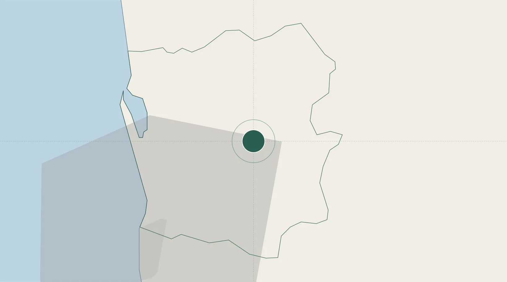
Location
Nearby Logistics Neighbours
Cities
- 1Weliweriya10 km
- 2Ganemulla12 km
- 3Kotugoda15 km
- 4Andiambalama18 km
- 5Dambadure18 km
Ports
- 1Colombo29 km
- 2Galle Harbor122 km
- 3Hambantota163 km
- 4Trincomalee Harbor205 km
- 5Tuticorin279 km
Airports
DatabookThe Record of Consolidated Knowledge
Sri Lanka beyond logistics?