Transport Functions
Multimodal
Hub Profile
Place type
Populated place
Region
North Western Province
Time zone
Asia/Colombo
Elevation
13 m
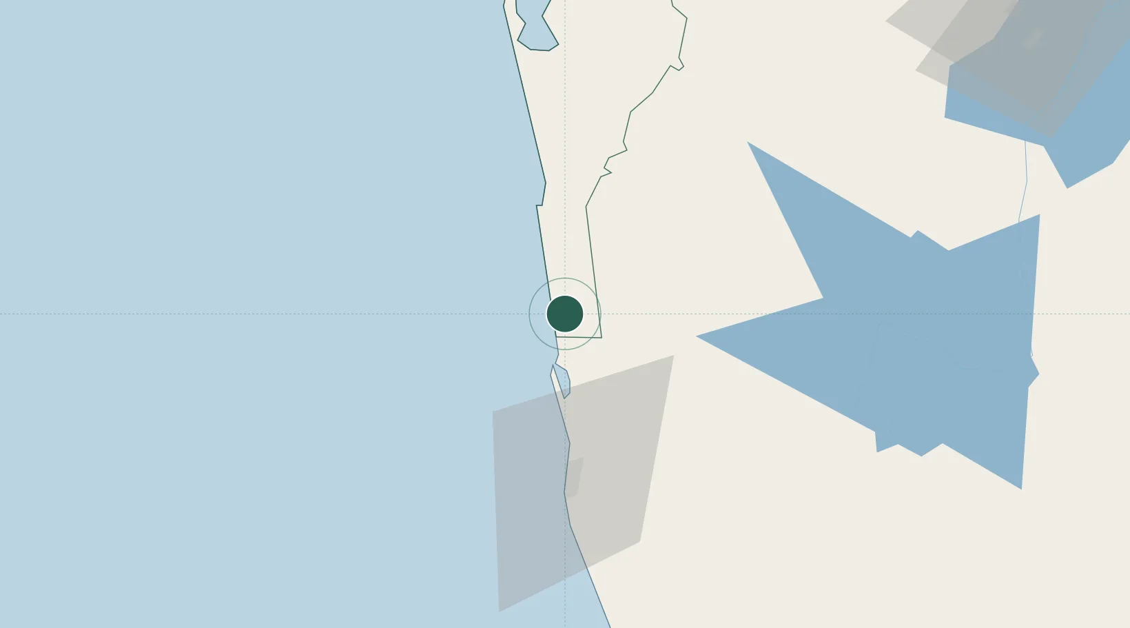
Location
Nearby Logistics Neighbours
Cities
- 1Porutota7 km
- 2Andiambalama18 km
- 3Dambadure24 km
- 4Kotugoda25 km
- 5Ganemulla32 km
Ports
- 1Colombo43 km
- 2Galle Harbor151 km
- 3Hambantota196 km
- 4Trincomalee Harbor202 km
- 5Tuticorin247 km
Airports
DatabookThe Record of Consolidated Knowledge
Sri Lanka beyond logistics?