Transport Functions
Multimodal
Hub Profile
Place type
Populated place
Region
Sabaragamuwa Province
Time zone
Asia/Colombo
Elevation
216 m
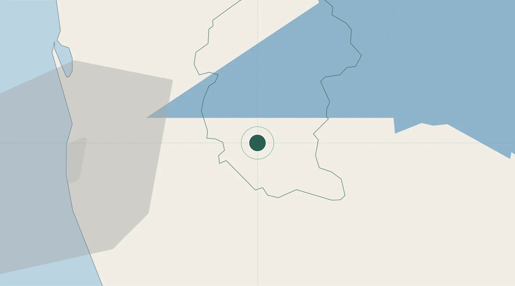
Location
Nearby Logistics Neighbours
Cities
- 1Avissawella9 km
- 2Weliweriya32 km
- 3Kalagedihena32 km
- 4Hatton33 km
- 5Makola39 km
Ports
- 1Colombo50 km
- 2Galle Harbor104 km
- 3Hambantota132 km
- 4Trincomalee Harbor203 km
- 5Tuticorin311 km
Airports
DatabookThe Record of Consolidated Knowledge
Sri Lanka beyond logistics?