Medium airport · Sri Lanka

Anuradhapura AirportVCCA
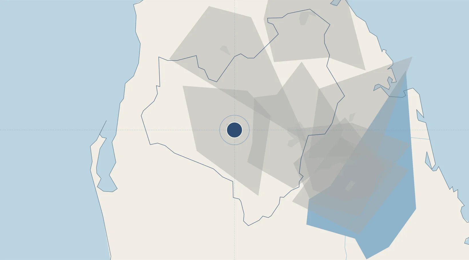
8.3015°, 80.4285°
4,876 ft
Longest runway
1
Runways
324 ft
Elevation

Runway & Layout

Anuradhapura Airport runway & taxiway layout
Runway & taxiway layout — OpenStreetMap (ODbL) / OurAirports

Radio Frequencies

TWR
120.5 MHz
APP
126.7 MHz
OurAirports

Navaids

AN NDB Anuradhapura 415 kHz
OurAirports

Runways · 1

RunwayDimensions SurfaceTrue headingLit
05/23 4,876 × 150ft Asphalt 046°
OurAirports

Airport Specifications

IATA code
ACJ
OurAirports
ICAO code
VCCA
OurAirports
Airport class
Medium airport
OurAirports
Scheduled service
No
OurAirports
Runway surface
Asphalt
OurAirports
Served city
Anuradhapura
OurAirports

Location

Location of VCCA
Natural Earth 10m (public domain) · Anurādhapura · VCCA · 8.30, 80.43GoogleOSMYandex

Nearby Logistics Neighbours

Airports
  1. 1Hingurakgoda Air Force Base67 km
  2. 2China Bay Airport87 km
  3. 3Polgolla Reservoir Seaplane Base111 km
  4. 4Iranamadu Airport112 km
  5. 5Bandaranaike International Colombo Airport138 km
Nearest neighbours — logibook spatial index (haversine) over the source coordinates
Cities
  1. 1Gampola39 km
  2. 2Puttalam74 km
  3. 3Kurunegala91 km
  4. 4Bogahawatta115 km
  5. 5Kilinochchi122 km
Nearest neighbours — logibook spatial index (haversine) over the source coordinates
Ports
  1. 1Trincomalee Harbor91 km
  2. 2Colombo163 km
  3. 3Kankesanturai174 km
  4. 4Galle Harbor253 km
  5. 5Tuticorin255 km
Nearest neighbours — logibook spatial index (haversine) over the source coordinates
Trade Zones
  1. 1Magathawama Export Processing Zone97 km
  2. 2Polgahawela Export Processing Zone109 km
  3. 3MAS Fabric Park117 km
  4. 4Mirigama Export Processing Zone118 km
  5. 5Kandy Industrial Park118 km
Nearest neighbours — logibook spatial index (haversine) over the source coordinates
DatabookThe Record of Consolidated Knowledge
Sri Lanka beyond logistics?
Browse databook

All Sources

AirportsOurAirports
Public domain
Portsthe NGA World Port Index
Public domain (US gov)
LocationsUN/LOCODE
UN/LOCODE — free
Trade Zonesthe World Bank SEZ database
CC BY 4.0
Trade ZonesOpen Zone Map
CC BY
InfrastructureOpenStreetMap
ODbL 1.0
← Sri Lanka airports