Transport Functions
Multimodal
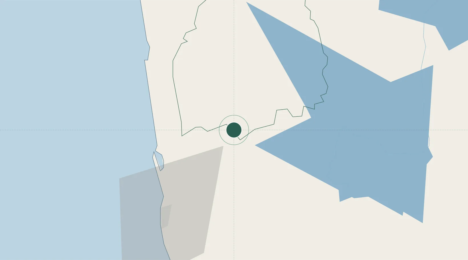
Hub Profile
Place type
Populated place
Region
North Western Province
Time zone
Asia/Colombo
Elevation
70 m
Location
Nearby Logistics Neighbours
Cities
- 1Kalagedihena24 km
- 2Kurunegala29 km
- 3Andiambalama32 km
- 4Weliweriya34 km
- 5Kotugoda34 km
Ports
- 1Colombo52 km
- 2Galle Harbor141 km
- 3Hambantota169 km
- 4Trincomalee Harbor181 km
- 5Tuticorin276 km
Airports
Trade Zones
DatabookThe Record of Consolidated Knowledge
Sri Lanka beyond logistics?