Transport Functions
Multimodal
Hub Profile
Place type
Populated place
Region
Western Province
Population
33,424
Time zone
Asia/Colombo
Elevation
9 m
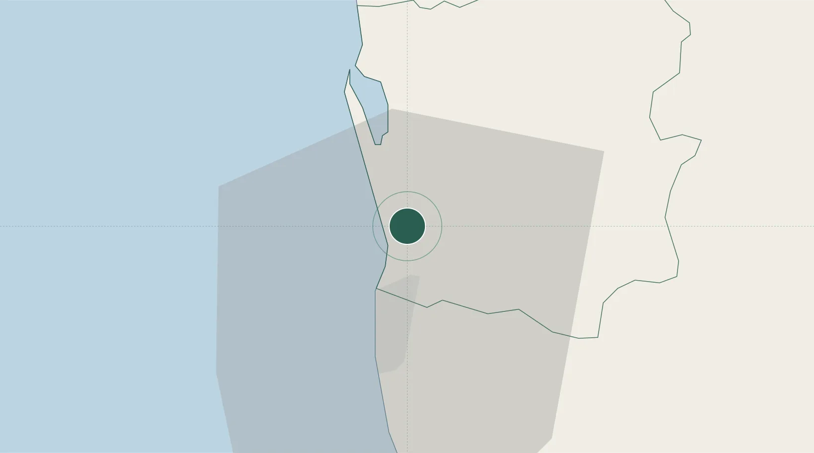
Location
Nearby Logistics Neighbours
Cities
- 1Enderamulla4 km
- 2Wattala6 km
- 3Hendala6 km
- 4Colombo7 km
- 5Ganemulla8 km
Ports
- 1Colombo10 km
- 2Galle Harbor118 km
- 3Hambantota172 km
- 4Trincomalee Harbor224 km
- 5Tuticorin273 km
Airports
Trade Zones
DatabookThe Record of Consolidated Knowledge
Sri Lanka beyond logistics?