Transport Functions
Multimodal
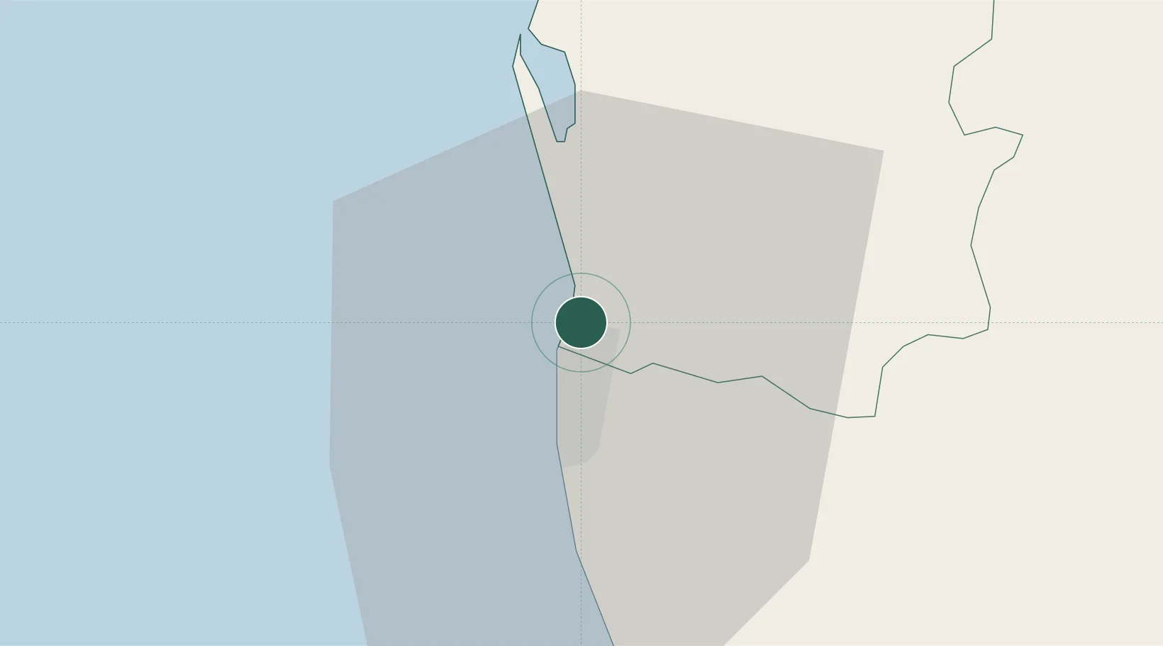
Hub Profile
Place type
Populated place
Region
Western Province
Population
56,978
Time zone
Asia/Colombo
Elevation
18 m
Location
Nearby Logistics Neighbours
Cities
- 1Colombo2 km
- 2Wattala2 km
- 3Enderamulla4 km
- 4Kelaniya4 km
- 5Orugodawatte6 km
Ports
- 1Colombo4 km
- 2Galle Harbor113 km
- 3Hambantota170 km
- 4Trincomalee Harbor229 km
- 5Tuticorin275 km
Airports
Trade Zones
DatabookThe Record of Consolidated Knowledge
Sri Lanka beyond logistics?