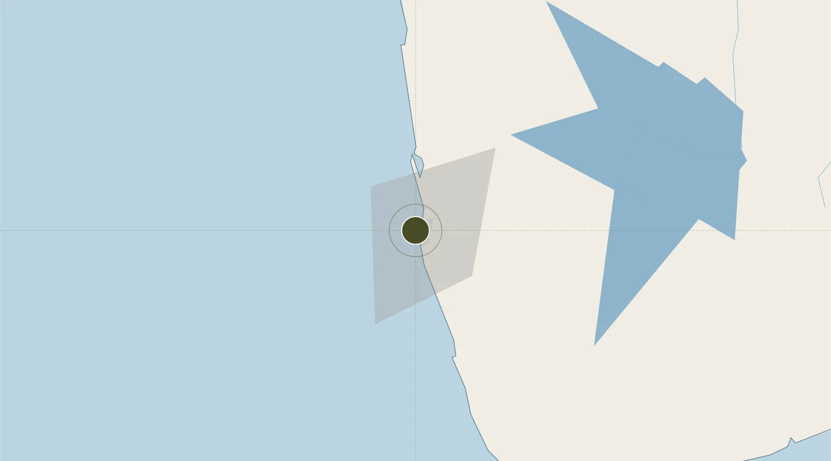
Charter City · Sri Lanka

Colombo Port City Active

6.9318°, 79.8321°
269 ha
Zone area
2.8 km
Nearest port
8.9 km
Nearest airport

Gateway access

Nearest neighbours — logibook spatial index (haversine) over the source coordinates

Zone profile

Zone type
Charter City
Open Zone Map
Region
Gampaha
Open Zone Map
Status
Active
Open Zone Map
Management
Public-Private Partnership
Open Zone Map
Operator
Estate Management Company (EMC) and China Harbor Engineering Company (CHEC)
Open Zone Map
Legal framework
Industrial Development Act, No. 36 of 1969
Open Zone Map

Location

Location of ozm-4336
Natural Earth 10m (public domain) · Gampaha · ozm-4336 · 6.93, 79.83GoogleOSMYandex

Nearby Logistics Neighbours

Ports
  1. 1Colombo3 km
  2. 2Galle Harbor109 km
  3. 3Hambantota170 km
  4. 4Trincomalee Harbor236 km
  5. 5Tuticorin277 km
Nearest neighbours — logibook spatial index (haversine) over the source coordinates
Airports
  1. 1Diyawanna Oya Seaplane Base9 km
  2. 2Colombo Ratmalana International Airport14 km
  3. 3Bandaranaike International Colombo Airport28 km
  4. 4Bentota River Waterdrome59 km
  5. 5Polgolla Reservoir Seaplane Base100 km
Nearest neighbours — logibook spatial index (haversine) over the source coordinates
Cities
  1. 1Orugodawatte4 km
  2. 2Kelaniya6 km
  3. 3Colombo7 km
  4. 4Hendala7 km
  5. 5Wattala8 km
Nearest neighbours — logibook spatial index (haversine) over the source coordinates
Trade Zones
  1. 1Orion City IT Park5 km
  2. 2Lk Rubber Industrial City Hub19 km
  3. 3Biyagama Export Processing Zone20 km
  4. 4Gampaha - Ekala Industrial Estate20 km
  5. 5Katunayake Export Processing Zone27 km
Nearest neighbours — logibook spatial index (haversine) over the source coordinates
DatabookThe Record of Consolidated Knowledge
Sri Lanka beyond logistics?
Browse databook

All Sources

Trade ZonesOpen Zone Map
CC BY
Portsthe NGA World Port Index
Public domain (US gov)
AirportsOurAirports
Public domain
LocationsUN/LOCODE
UN/LOCODE — free
← Sri Lanka trade zones