Transport Functions
Multimodal
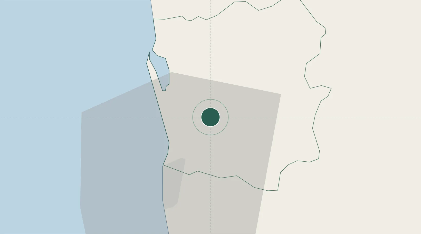
Hub Profile
Place type
Populated place
Region
Western Province
Time zone
Asia/Colombo
Elevation
30 m
Location
Nearby Logistics Neighbours
Cities
- 1Kotugoda7 km
- 2Weliweriya8 km
- 3Kandana8 km
- 4Dambadure9 km
- 5Enderamulla9 km
Ports
- 1Colombo17 km
- 2Galle Harbor119 km
- 3Hambantota168 km
- 4Trincomalee Harbor216 km
- 5Tuticorin275 km
Airports
Trade Zones
DatabookThe Record of Consolidated Knowledge
Sri Lanka beyond logistics?