UN/LOCODE hub · Sri Lanka
LKCMB
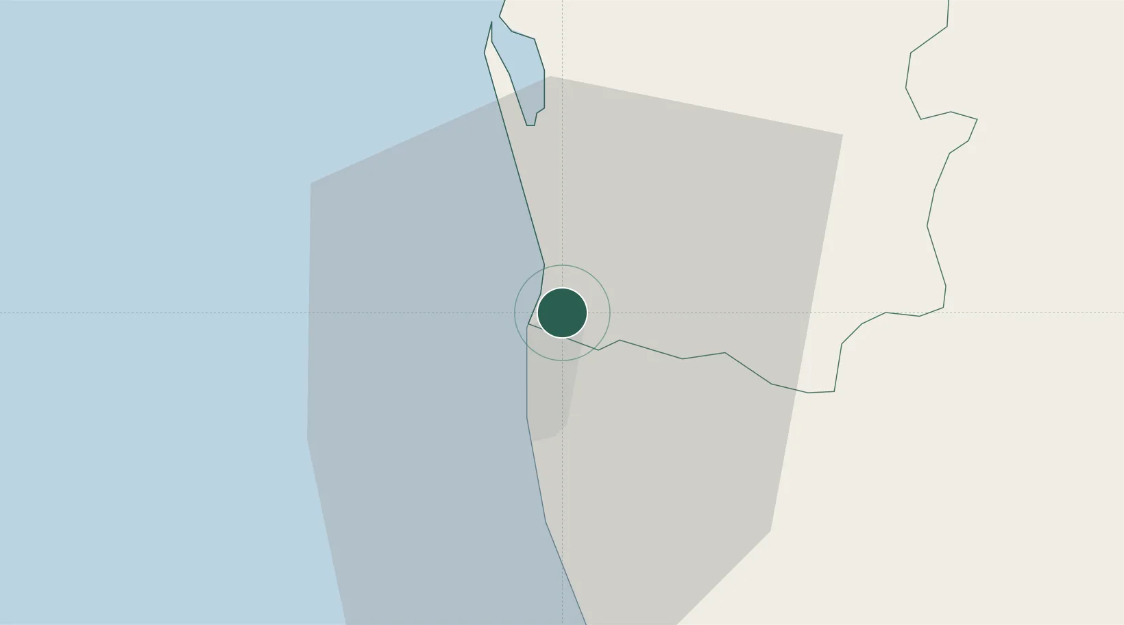
Colombo
6.9737°, 79.8762°
648,034
Population
5
Transport functions
6
Container terminals
Transport Functions
Port
Rail
Road
Airport
Postal
Hub Profile
Place type
National capital
Region
Western Province
Population
648,034
Time zone
Asia/Colombo
Elevation
7 m
Logistics facilities
28
Container terminals
6
Location
Nearby Logistics Neighbours
Cities
- 1Wattala1 km
- 2Hendala2 km
- 3Kelaniya3 km
- 4Enderamulla4 km
- 5Orugodawatte5 km
Ports
- 1Galle Harbor112 km
- 2Hambantota168 km
- 3Trincomalee Harbor229 km
- 4Tuticorin277 km
- 5Kankesanturai317 km
Airports
Trade Zones
DatabookThe Record of Consolidated Knowledge
Sri Lanka beyond logistics?