Transport Functions
Multimodal
Hub Profile
Place type
Populated place
Region
Western Province
Population
30,725
Time zone
Asia/Colombo
Elevation
6 m
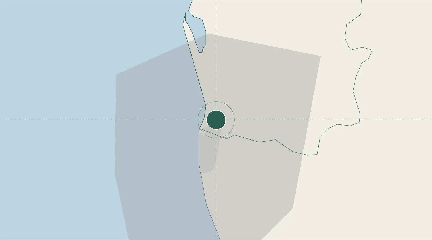
Location
Nearby Logistics Neighbours
Cities
- 1Colombo1 km
- 2Hendala2 km
- 3Enderamulla3 km
- 4Kelaniya4 km
- 5Kandana6 km
Ports
- 1Colombo5 km
- 2Galle Harbor112 km
- 3Hambantota168 km
- 4Trincomalee Harbor228 km
- 5Tuticorin277 km
Airports
Trade Zones
DatabookThe Record of Consolidated Knowledge
Sri Lanka beyond logistics?