Small airport · Kyrgyzstan

Kerben AirportKG-0014
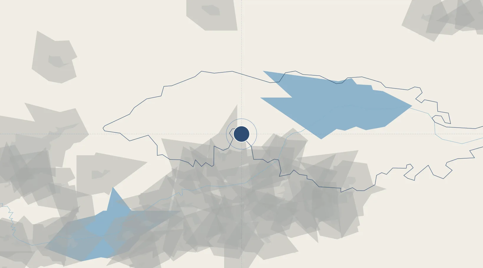
41.4845°, 71.7337°
5,708 ft
Longest runway
1
Runways
4,199 ft
Elevation

Runway & Layout

Kerben Airport runway & taxiway layout
Runway & taxiway layout — OpenStreetMap (ODbL) / OurAirports

Runways · 1

RunwayDimensions SurfaceTrue headingLit
04/22 5,708 × 115ft ASB
OurAirports

Airport Specifications

ICAO code
UAFE
OurAirports
Airport class
Small airport
OurAirports
Scheduled service
Yes
OurAirports
Runway surface
ASB
OurAirports
Served city
Kerben
OurAirports

Location

Location of KG-0014
Natural Earth 10m (public domain) · Jalal-Abad · KG-0014 · 41.48, 71.73GoogleOSMYandex

Nearby Logistics Neighbours

Airports
  1. 1Namangan International Airport58 km
  2. 2Andijan International Airport96 km
  3. 3Jalal-Abad Airport120 km
  4. 4Talas Airport122 km
  5. 5Fergana International Airport125 km
Nearest neighbours — logibook spatial index (haversine) over the source coordinates
Cities
  1. 1Asaka104 km
  2. 2Khamza120 km
  3. 3Altyaryk125 km
  4. 4Kokand127 km
  5. 5Osh138 km
Nearest neighbours — logibook spatial index (haversine) over the source coordinates
Ports
  1. 1Muhamamad Bin Qasim1903 km
  2. 2Karachi1908 km
  3. 3Gwadar2015 km
  4. 4Chah Bahar2074 km
  5. 5Jazireh-Ye Hormoz2122 km
Nearest neighbours — logibook spatial index (haversine) over the source coordinates
Trade Zones
  1. 1Kosonsoy-pharm Free Economic Zone32 km
  2. 2Namangan Free Economic Zone53 km
  3. 3Andijan Farm Free Economic Zone94 km
  4. 4Qoqon Kokand Free Economic Zone125 km
  5. 5Maimak Special Economic Zone140 km
Nearest neighbours — logibook spatial index (haversine) over the source coordinates
DatabookThe Record of Consolidated Knowledge
Kyrgyzstan beyond logistics?
Browse databook

All Sources

AirportsOurAirports
Public domain
Portsthe NGA World Port Index
Public domain (US gov)
LocationsUN/LOCODE
UN/LOCODE — free
Trade Zonesthe World Bank SEZ database
CC BY 4.0
Trade ZonesOpen Zone Map
CC BY
InfrastructureOpenStreetMap
ODbL 1.0
← Kyrgyzstan airports