Transport Functions
Multimodal
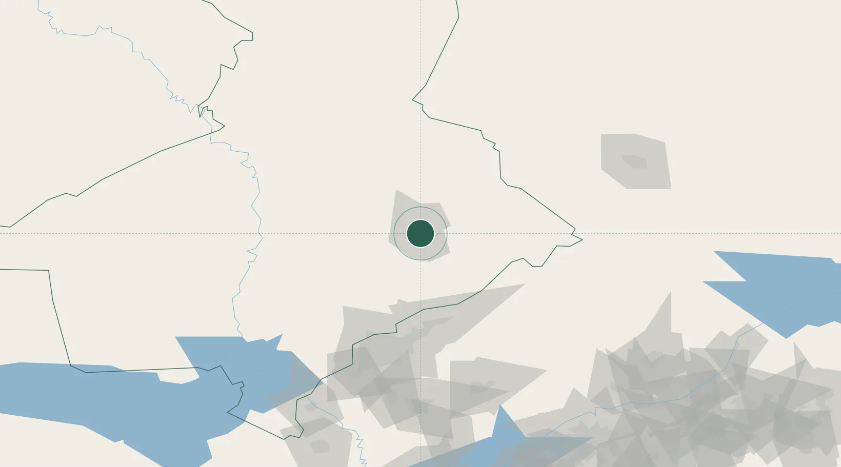
Location
Nearby Logistics Neighbours
Cities
- 1Aksukent23 km
- 2Arys67 km
- 3Saryagach101 km
- 4Chukur-Say109 km
- 5Tashkent119 km
Ports
- 1Muhamamad Bin Qasim1961 km
- 2Karachi1963 km
- 3Gwadar2023 km
- 4Chah Bahar2065 km
- 5Jazireh-Ye Hormoz2069 km
Airports
Trade Zones
DatabookThe Record of Consolidated Knowledge
Kazakhstan beyond logistics?