Small airport · Kyrgyzstan

Talas AirportKG-0004
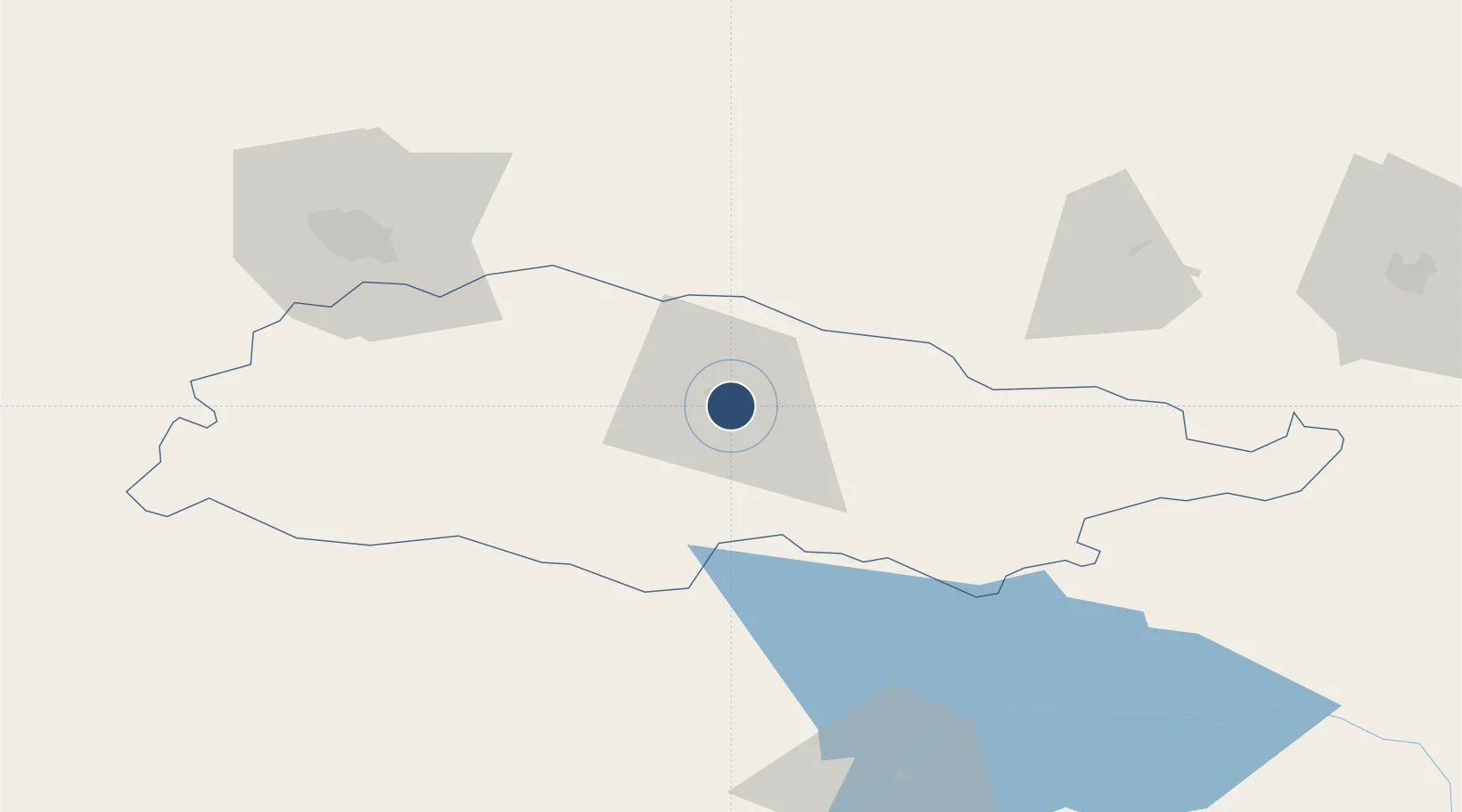
42.5059°, 72.2631°
5,577 ft
Longest runway
1
Runways
4,153 ft
Elevation

Runway & Layout

Talas Airport runway & taxiway layout
Runway & taxiway layout — OpenStreetMap (ODbL) / OurAirports

Runways · 1

RunwayDimensions SurfaceTrue headingLit
10/26 5,577 × 115ft concrete
OurAirports

Airport Specifications

ICAO code
UAFT
OurAirports
Airport class
Small airport
OurAirports
Scheduled service
Yes
OurAirports
Runway surface
concrete
OurAirports
Served city
Talas
OurAirports

Location

Location of KG-0004
Natural Earth 10m (public domain) · Talas · KG-0004 · 42.51, 72.26GoogleOSMYandex

Nearby Logistics Neighbours

Airports
  1. 1Taraz International Airport87 km
  2. 2Kerben Airport122 km
  3. 3Namangan International Airport179 km
  4. 4Jalal-Abad Airport184 km
  5. 5Manas International Airport191 km
Nearest neighbours — logibook spatial index (haversine) over the source coordinates
Cities
  1. 1Taraz85 km
  2. 2Bishkek (ex Frunze)195 km
  3. 3Cos Cob198 km
  4. 4Alamedin199 km
  5. 5Aksukent200 km
Nearest neighbours — logibook spatial index (haversine) over the source coordinates
Ports
  1. 1Muhamamad Bin Qasim2023 km
  2. 2Karachi2029 km
  3. 3Gwadar2136 km
  4. 4Chah Bahar2193 km
  5. 5Jazireh-Ye Hormoz2233 km
Nearest neighbours — logibook spatial index (haversine) over the source coordinates
Trade Zones
  1. 1Maimak Special Economic Zone86 km
  2. 2Kosonsoy-pharm Free Economic Zone153 km
  3. 3Chemical Park Taraz Special Economic Zone155 km
  4. 4Namangan Free Economic Zone174 km
  5. 5Leilek Special Economic Zone185 km
Nearest neighbours — logibook spatial index (haversine) over the source coordinates
DatabookThe Record of Consolidated Knowledge
Kyrgyzstan beyond logistics?
Browse databook

All Sources

AirportsOurAirports
Public domain
Portsthe NGA World Port Index
Public domain (US gov)
LocationsUN/LOCODE
UN/LOCODE — free
Trade Zonesthe World Bank SEZ database
CC BY 4.0
Trade ZonesOpen Zone Map
CC BY
InfrastructureOpenStreetMap
ODbL 1.0
← Kyrgyzstan airports