Large airport · Kazakhstan

Shymkent International AirportUAII
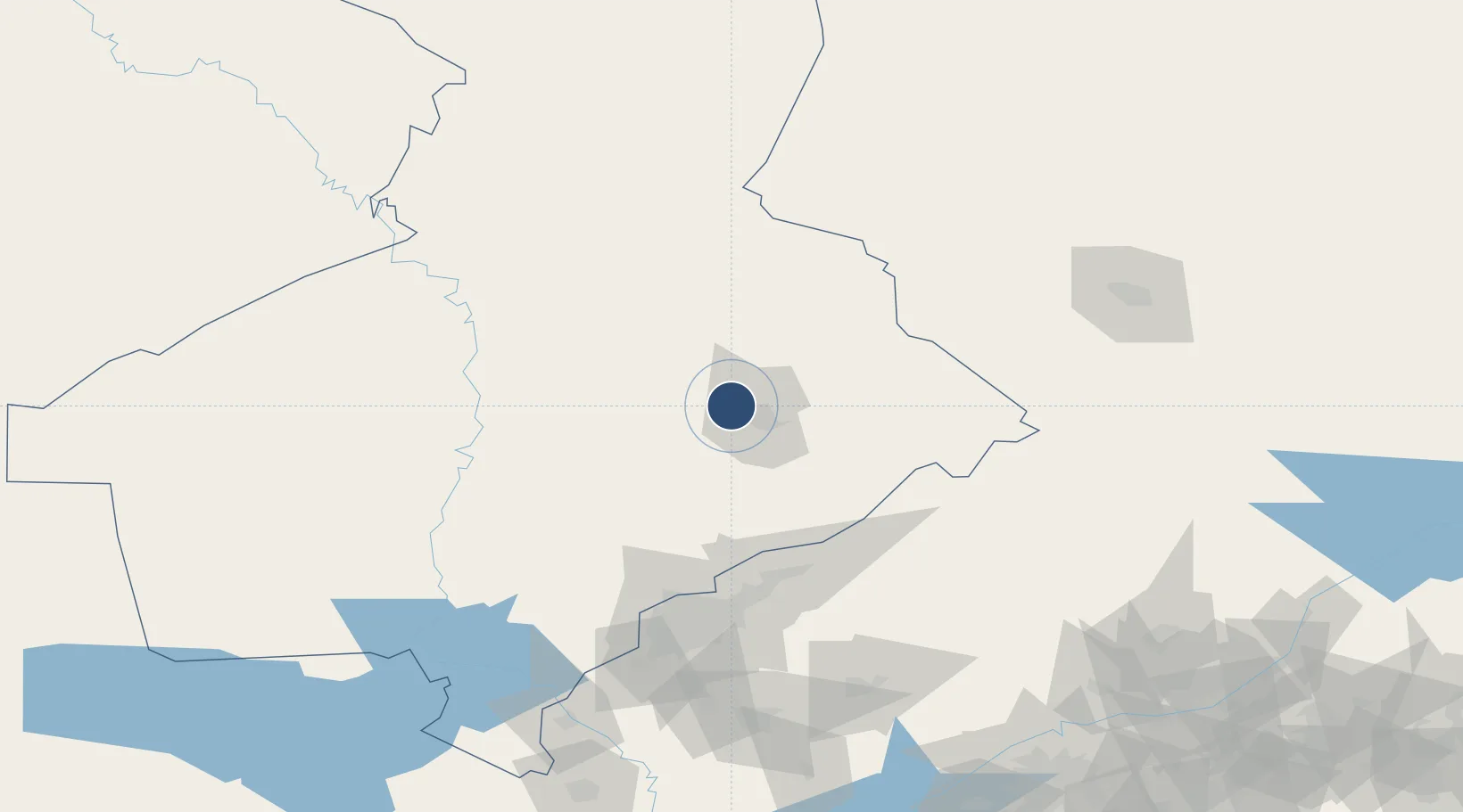
42.3650°, 69.4756°
9,186 ft
Longest runway
1
Runways
1,385 ft
Elevation

Runway & Layout

Shymkent International Airport runway & taxiway layout
Runway & taxiway layout — OpenStreetMap (ODbL) / OurAirports

Radio Frequencies

TWR
118.7 MHz
OurAirports

Navaids

EN NDB Shymkent 360 kHz
IM NDB Shymkent 360 kHz
OurAirports

Runways · 1

RunwayDimensions SurfaceTrue headingLit
10/28 9,186 × 144ft Concrete 107°
OurAirports

Airport Specifications

IATA code
CIT
OurAirports
ICAO code
UAII
OurAirports
Airport class
Large airport
OurAirports
Scheduled service
Yes
OurAirports
Runway surface
Concrete
OurAirports
Served city
Shymkent
OurAirports

Location

Location of UAII
Natural Earth 10m (public domain) · South Kazakhstan · UAII · 42.37, 69.48GoogleOSMYandex

Nearby Logistics Neighbours

Airports
  1. 1Tashkent East Airport117 km
  2. 2Tashkent International Airport124 km
  3. 3Hazrat Sultan International Airport130 km
  4. 4Taraz International Airport159 km
  5. 5Kerben Airport211 km
Nearest neighbours — logibook spatial index (haversine) over the source coordinates
Cities
  1. 1Chimkent13 km
  2. 2Aksukent30 km
  3. 3Arys56 km
  4. 4Saryagach105 km
  5. 5Chukur-Say113 km
Nearest neighbours — logibook spatial index (haversine) over the source coordinates
Ports
  1. 1Muhamamad Bin Qasim1967 km
  2. 2Karachi1968 km
  3. 3Gwadar2026 km
  4. 4Chah Bahar2067 km
  5. 5Jazireh-Ye Hormoz2068 km
Nearest neighbours — logibook spatial index (haversine) over the source coordinates
Trade Zones
  1. 1Ontustik Special Economic Zone21 km
  2. 2Charvak Chorvoq Free Economic Zone90 km
  3. 3Bustonliq-pharm Free Economic Zone92 km
  4. 4Parkent-pharm Free Economic Zone121 km
  5. 5Zomin-pharm Free Economic Zone138 km
Nearest neighbours — logibook spatial index (haversine) over the source coordinates
DatabookThe Record of Consolidated Knowledge
Kazakhstan beyond logistics?
Browse databook

All Sources

AirportsOurAirports
Public domain
Portsthe NGA World Port Index
Public domain (US gov)
LocationsUN/LOCODE
UN/LOCODE — free
Trade Zonesthe World Bank SEZ database
CC BY 4.0
Trade ZonesOpen Zone Map
CC BY
InfrastructureOpenStreetMap
ODbL 1.0
← Kazakhstan airports