Transport Functions
Rail
Road
Hub Profile
Place type
Provincial seat
Region
Turkistan
Population
36,285
Time zone
Asia/Almaty
Elevation
239 m
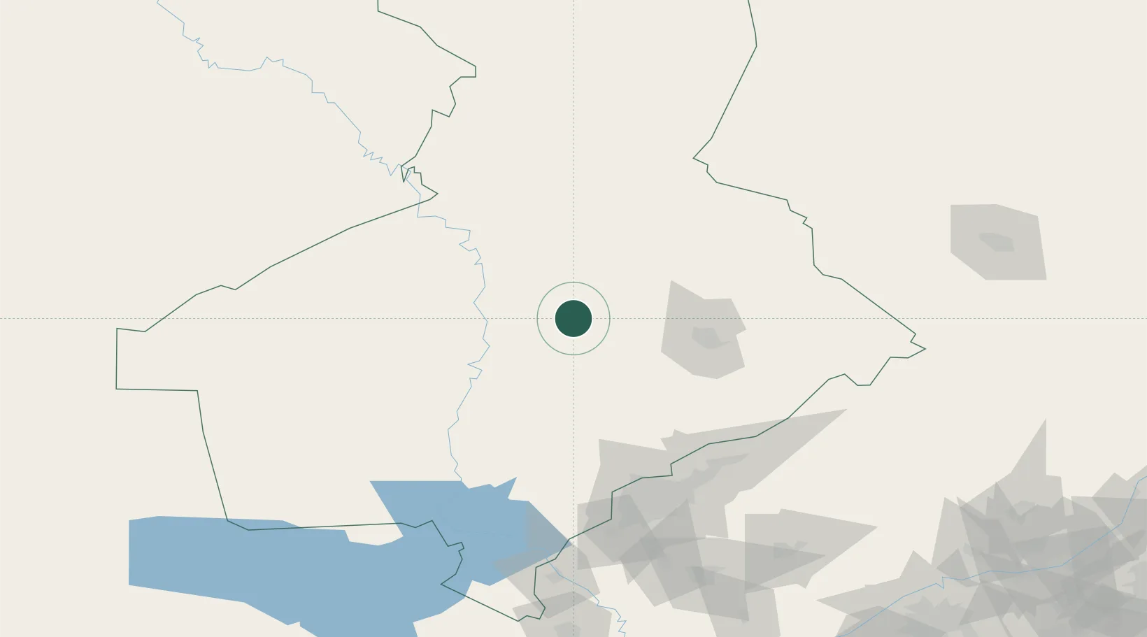
Location
Nearby Logistics Neighbours
Cities
- 1Chimkent67 km
- 2Aksukent85 km
- 3Saryagach114 km
- 4Chukur-Say124 km
- 5Tashkent140 km
Ports
- 1Muhamamad Bin Qasim1969 km
- 2Karachi1970 km
- 3Gwadar2014 km
- 4Jazireh-Ye Hormoz2039 km
- 5Bandar Abbas2047 km
Airports
Trade Zones
DatabookThe Record of Consolidated Knowledge
Kazakhstan beyond logistics?