UN/LOCODE hub · Kazakhstan
KZASK

Aksukent

42.4167°, 69.8333°
2
Transport functions

Transport Functions

Rail
Road
UN/LOCODE

Hub Profile

Region
61
GeoNames

Location

Location of KZASK
Natural Earth 10m (public domain) · 61 · KZASK · 42.42, 69.83GoogleOSMYandex

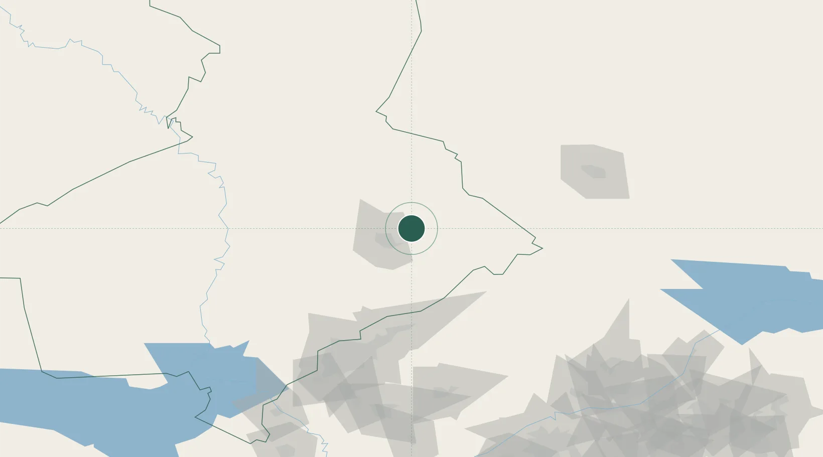
Nearby Logistics Neighbours

Cities
  1. 1Chimkent23 km
  2. 2Arys85 km
  3. 3Saryagach121 km
  4. 4Chukur-Say127 km
  5. 5Tashkent136 km
Nearest neighbours — logibook spatial index (haversine) over the source coordinates
Ports
  1. 1Muhamamad Bin Qasim1976 km
  2. 2Karachi1978 km
  3. 3Gwadar2042 km
  4. 4Chah Bahar2085 km
  5. 5Jazireh-Ye Hormoz2091 km
Nearest neighbours — logibook spatial index (haversine) over the source coordinates
Airports
  1. 1Shymkent International Airport30 km
  2. 2Tashkent East Airport128 km
  3. 3Taraz International Airport130 km
  4. 4Tashkent International Airport137 km
  5. 5Hazrat Sultan International Airport144 km
Nearest neighbours — logibook spatial index (haversine) over the source coordinates
Trade Zones
  1. 1Ontustik Special Economic Zone23 km
  2. 2Charvak Chorvoq Free Economic Zone87 km
  3. 3Bustonliq-pharm Free Economic Zone95 km
  4. 4Maimak Special Economic Zone119 km
  5. 5Parkent-pharm Free Economic Zone126 km
Nearest neighbours — logibook spatial index (haversine) over the source coordinates
DatabookThe Record of Consolidated Knowledge
Kazakhstan beyond logistics?
Browse databook

All Sources

LocationsUN/LOCODE
UN/LOCODE — free
Portsthe NGA World Port Index
Public domain (US gov)
AirportsOurAirports
Public domain
Trade Zonesthe World Bank SEZ database
CC BY 4.0
Trade ZonesOpen Zone Map
CC BY
← Kazakhstan locations