UN/LOCODE hub · Cayman Islands
KYGEC
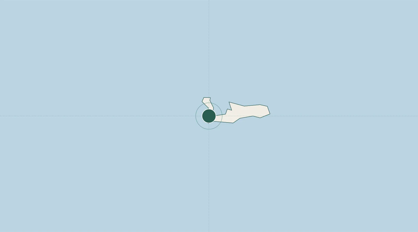
Georgetown, Grand Cayman
19.3000°, -81.3833°
3
Transport functions
Transport Functions
Port
Road
Airport
Location
Nearby Logistics Neighbours
Cities
- 1Casilda310 km
- 2Tunas de Zaza322 km
- 3Palo Alto359 km
- 4Savanna-la-Mar363 km
- 5Júcaro370 km
Ports
- 1Cayman Brac178 km
- 2Casilda309 km
- 3Tunas De Zaza322 km
- 4Nueva Gerona326 km
- 5Cienfuegos331 km
Airports
Trade Zones
- 1Cayman Enterprise City1 km
- 2Cazoumar Free Zone375 km
- 3Montego Bay Free Zone375 km
- 4Jamaica-Gansu Industrial Park424 km
- 5Mariel Special Development Zone437 km
DatabookThe Record of Consolidated Knowledge
Cayman Islands beyond logistics?