Large airport · Cayman Islands
Owen Roberts International AirportMWCR
19.2928°, -81.3577°
7,021 ft
Longest runway
1
Runways
8 ft
Elevation
Runway & Layout

Radio Frequencies
ATIS
132.35 MHz
TWR
118 MHz
GND
121.9 MHz
A/D
120.2 MHz
GRAND CAYMAN APP
CNTR
128.1 MHz
KINGSTON CON
Navaids
GCM VOR-DME Grand Cayman 115.60 MHz
ZIY NDB Grand Cayman 344 kHz
Runways · 1
| Runway | Dimensions | Surface | True heading | Lit |
|---|---|---|---|---|
| 08/26 | 7,021 × 148ft | Asphalt | 076° | ✓ |
Airport Specifications
IATA code
GCM
ICAO code
MWCR
Airport class
Large airport
Scheduled service
Yes
Runway surface
Asphalt
Served city
George Town
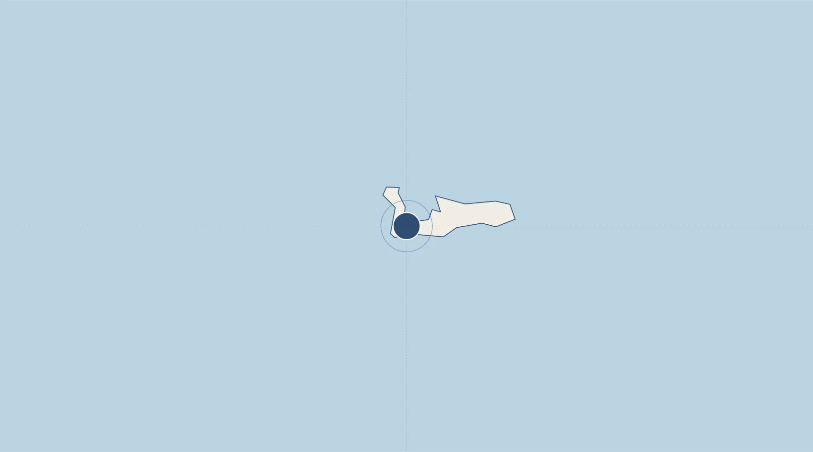
Location
Nearby Logistics Neighbours
Airports
Cities
- 1Georgetown, Grand Cayman3 km
- 2Casilda309 km
- 3Tunas de Zaza321 km
- 4Palo Alto358 km
- 5Savanna-la-Mar360 km
Ports
- 1Georgetown3 km
- 2Cayman Brac176 km
- 3Casilda308 km
- 4Tunas De Zaza321 km
- 5Nueva Gerona328 km
Trade Zones
- 1Cayman Enterprise City3 km
- 2Cazoumar Free Zone372 km
- 3Montego Bay Free Zone372 km
- 4Jamaica-Gansu Industrial Park421 km
- 5Mariel Special Development Zone438 km
DatabookThe Record of Consolidated Knowledge
Cayman Islands beyond logistics?