Diversified Zone · South Korea

Gwangju Regulation-Free Zone Active
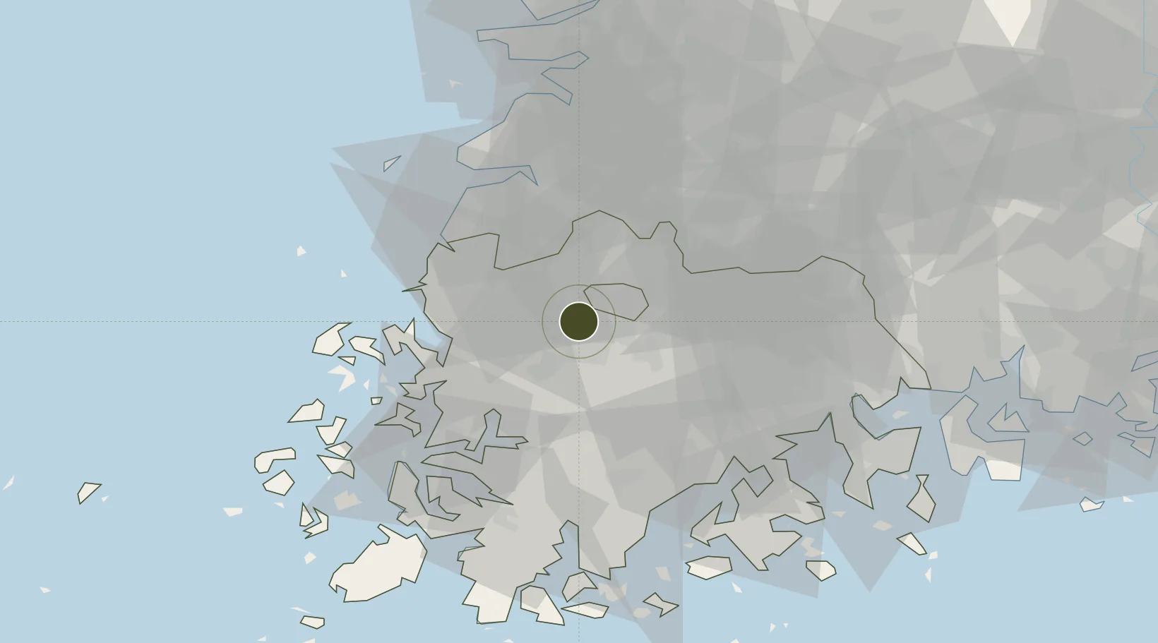
35.1478°, 126.8093°
50,124 ha
Zone area
56.1 km
Nearest port
2.8 km
Nearest airport

Gateway access

Nearest neighbours — logibook spatial index (haversine) over the source coordinates

Zone profile

Zone type
Diversified Zone
Open Zone Map
Region
South Jeolla
Open Zone Map
Status
Active
Open Zone Map
Management
Public
Open Zone Map
Operator
Gwangju City
Open Zone Map
Legal framework
Act On Special Cases Concerning The Regulation Of Regulation-Free Special Zones And Special Economic Zones For Specialized Regional Development: Section 1.
Open Zone Map

Location

Location of ozm-4247
Natural Earth 10m (public domain) · South Jeolla · ozm-4247 · 35.15, 126.81GoogleOSMYandex

Nearby Logistics Neighbours

Ports
  1. 1Mokpo56 km
  2. 2Gwangyang Hang90 km
  3. 3Kunsan95 km
  4. 4Masan160 km
  5. 5Chinae167 km
Nearest neighbours — logibook spatial index (haversine) over the source coordinates
Airports
  1. 1Gwangju Airport3 km
  2. 2Muan International Airport43 km
  3. 3Yeosu Airport81 km
  4. 4Gunsan Airport / Gunsan Air Base86 km
  5. 5Sacheon Airport / Sacheon Air Base115 km
Nearest neighbours — logibook spatial index (haversine) over the source coordinates
Cities
  1. 1Gwangju2 km
  2. 2Naju17 km
  3. 3Jangseong/Jangseong-gun17 km
  4. 4Hwasun-gun19 km
  5. 5Muan-gun23 km
Nearest neighbours — logibook spatial index (haversine) over the source coordinates
Trade Zones
  1. 1Sochon Industrial Complex2 km
  2. 2Pyeongdong Foreign Investment Zone4 km
  3. 3Sochon Agro-Industrial Complex4 km
  4. 4Gwangju New Free Economic Zone5 km
  5. 5Pyeongdong Second Industrial Complex5 km
Nearest neighbours — logibook spatial index (haversine) over the source coordinates
DatabookThe Record of Consolidated Knowledge
South Korea beyond logistics?
Browse databook

All Sources

Trade ZonesOpen Zone Map
CC BY
Portsthe NGA World Port Index
Public domain (US gov)
AirportsOurAirports
Public domain
LocationsUN/LOCODE
UN/LOCODE — free
← South Korea trade zones