UN/LOCODE hub · South Korea
KRMAN

Muan-gun

34.9833°, 126.9667°
3
Transport functions

Transport Functions

Rail
Road
Multimodal
UN/LOCODE

Hub Profile

Region
46
GeoNames

Location

Location of KRMAN
Natural Earth 10m (public domain) · 46 · KRMAN · 34.98, 126.97GoogleOSMYandex

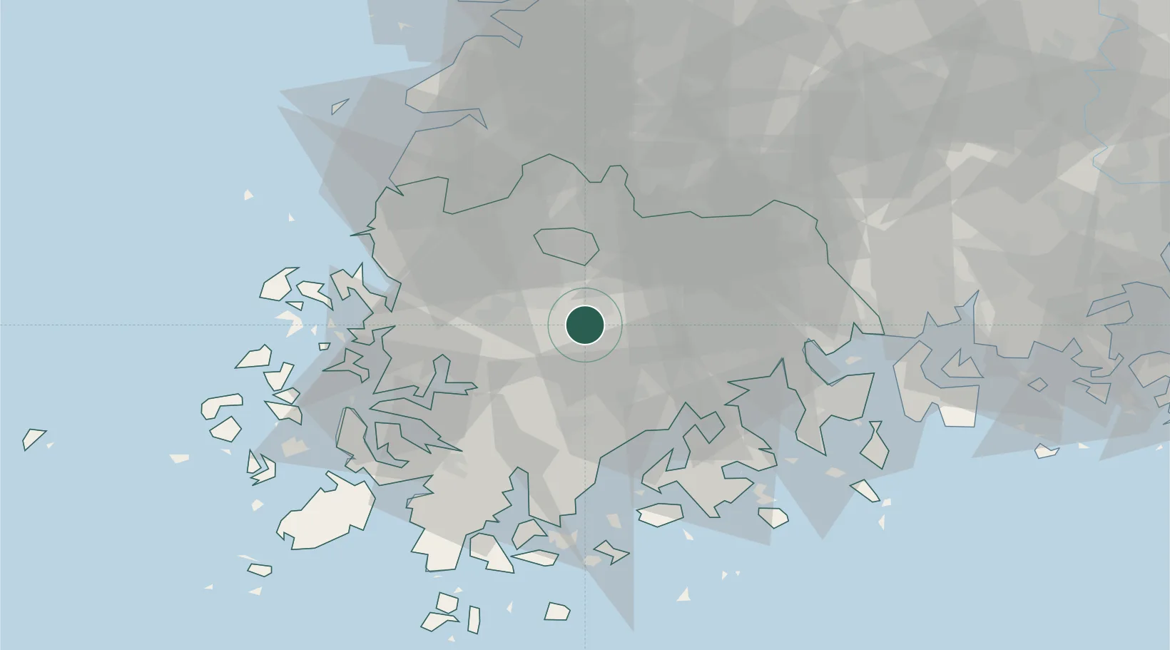
Nearby Logistics Neighbours

Cities
  1. 1Hwasun-gun8 km
  2. 2Naju23 km
  3. 3Gwangju23 km
  4. 4Yeongam-gun33 km
  5. 5Jangheung-gun36 km
Nearest neighbours — logibook spatial index (haversine) over the source coordinates
Ports
  1. 1Mokpo58 km
  2. 2Gwangyang Hang72 km
  3. 3Kunsan116 km
  4. 4Masan147 km
  5. 5Chinae154 km
Nearest neighbours — logibook spatial index (haversine) over the source coordinates
Airports
  1. 1Gwangju Airport21 km
  2. 2Muan International Airport53 km
  3. 3Yeosu Airport61 km
  4. 4Sacheon Airport / Sacheon Air Base101 km
  5. 5Gunsan Airport / Gunsan Air Base107 km
Nearest neighbours — logibook spatial index (haversine) over the source coordinates
Trade Zones
  1. 1Songam Industrial Complex16 km
  2. 2Energy Valley Urban High-Tech Regional Industrial Complex17 km
  3. 3Gwangju Regulation-Free Zone23 km
  4. 4Pyeongdong Second Industrial Complex24 km
  5. 5Pyeong-dong First Industrial Complex24 km
Nearest neighbours — logibook spatial index (haversine) over the source coordinates
DatabookThe Record of Consolidated Knowledge
South Korea beyond logistics?
Browse databook

All Sources

LocationsUN/LOCODE
UN/LOCODE — free
Portsthe NGA World Port Index
Public domain (US gov)
AirportsOurAirports
Public domain
Trade Zonesthe World Bank SEZ database
CC BY 4.0
Trade ZonesOpen Zone Map
CC BY
← South Korea locations