UN/LOCODE hub · South Korea
KRJSE

Jeongseon-gun

37.3667°, 128.6500°
2
Transport functions

Transport Functions

Rail
Road
UN/LOCODE

Hub Profile

Region
42
GeoNames

Location

Location of KRJSE
Natural Earth 10m (public domain) · 42 · KRJSE · 37.37, 128.65GoogleOSMYandex

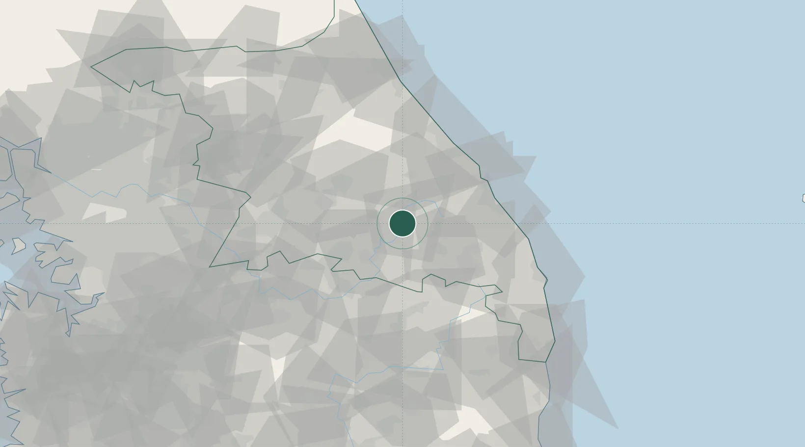
Nearby Logistics Neighbours

Cities
  1. 1Pyeongchang-gun24 km
  2. 2Yeongwol-gun27 km
  3. 3Taebaek37 km
  4. 4Okgye/Gangneung43 km
  5. 5Donghae43 km
Nearest neighbours — logibook spatial index (haversine) over the source coordinates
Ports
  1. 1Mukho47 km
  2. 2Tonghae48 km
  3. 3Sokch'o Hang93 km
  4. 4Pohang160 km
  5. 5Pyeongtaek Hang169 km
Nearest neighbours — logibook spatial index (haversine) over the source coordinates
Airports
  1. 1Gangneung Airport (K-18)50 km
  2. 2Wonju Airport / Hoengseong Air Base (K-38/K-46)61 km
  3. 3Yangyang International Airport77 km
  4. 4Jungwon Air Base/Chungju Airport77 km
  5. 5Yecheon Airbase86 km
Nearest neighbours — logibook spatial index (haversine) over the source coordinates
DatabookThe Record of Consolidated Knowledge
South Korea beyond logistics?
Browse databook

All Sources

LocationsUN/LOCODE
UN/LOCODE — free
Portsthe NGA World Port Index
Public domain (US gov)
AirportsOurAirports
Public domain
Trade Zonesthe World Bank SEZ database
CC BY 4.0
Trade ZonesOpen Zone Map
CC BY
← South Korea locations