Charter City · South Korea

Daedeok Smart City Active
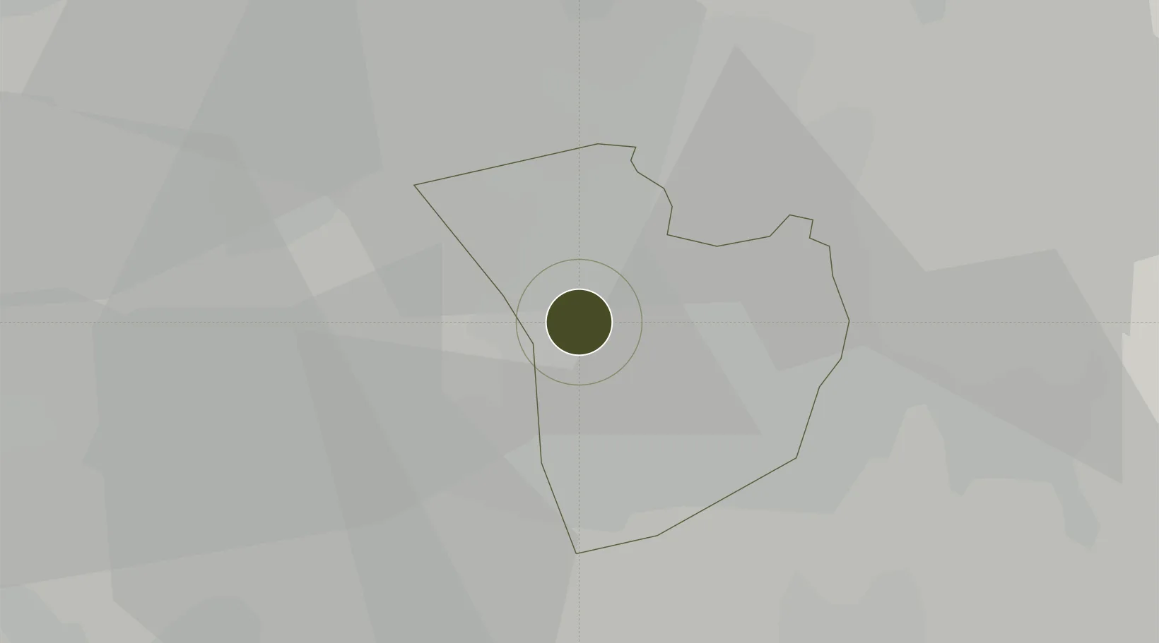
36.3731°, 127.3188°
320 ha
Zone area
76.5 km
Nearest port
41.4 km
Nearest airport

Gateway access

Nearest neighbours — logibook spatial index (haversine) over the source coordinates

Zone profile

Zone type
Charter City
Open Zone Map
Region
Daejeon
Open Zone Map
Status
Active
Open Zone Map
Management
Public
Open Zone Map
Operator
Ministry of Knowledge Economy
Open Zone Map
Legal framework
Special Act On Designation And Management Of Free Economic Zones Expand Act No. 15309, Dec. 26, 2017, Foreign Investment Promotion Act: Expand Act No. 16131, Dec. 31, 2018.
Open Zone Map

Location

Location of ozm-4224
Natural Earth 10m (public domain) · Daejeon · ozm-4224 · 36.37, 127.32GoogleOSMYandex

Nearby Logistics Neighbours

Ports
  1. 1Kunsan77 km
  2. 2Pyeongtaek Hang84 km
  3. 3Daesan Hang109 km
  4. 4Inchon137 km
  5. 5Gwangyang Hang168 km
Nearest neighbours — logibook spatial index (haversine) over the source coordinates
Airports
  1. 1Cheongju International Airport/Cheongju Air Base (K-59/G-513)41 km
  2. 2Camp Humphreys (A-511) Desiderio Army Airfield70 km
  3. 3Gunsan Airport / Gunsan Air Base82 km
  4. 4Osan Air Base84 km
  5. 5Jungwon Air Base/Chungju Airport89 km
Nearest neighbours — logibook spatial index (haversine) over the source coordinates
Cities
  1. 1Shintanjin11 km
  2. 2Daejeon11 km
  3. 3Sint'anjin12 km
  4. 4Gyerong14 km
  5. 5Hyeondo-myeon/Cheongwon-gun15 km
Nearest neighbours — logibook spatial index (haversine) over the source coordinates
DatabookThe Record of Consolidated Knowledge
South Korea beyond logistics?
Browse databook

All Sources

Trade ZonesOpen Zone Map
CC BY
Portsthe NGA World Port Index
Public domain (US gov)
AirportsOurAirports
Public domain
LocationsUN/LOCODE
UN/LOCODE — free
← South Korea trade zones