Transport Functions
Rail
Road
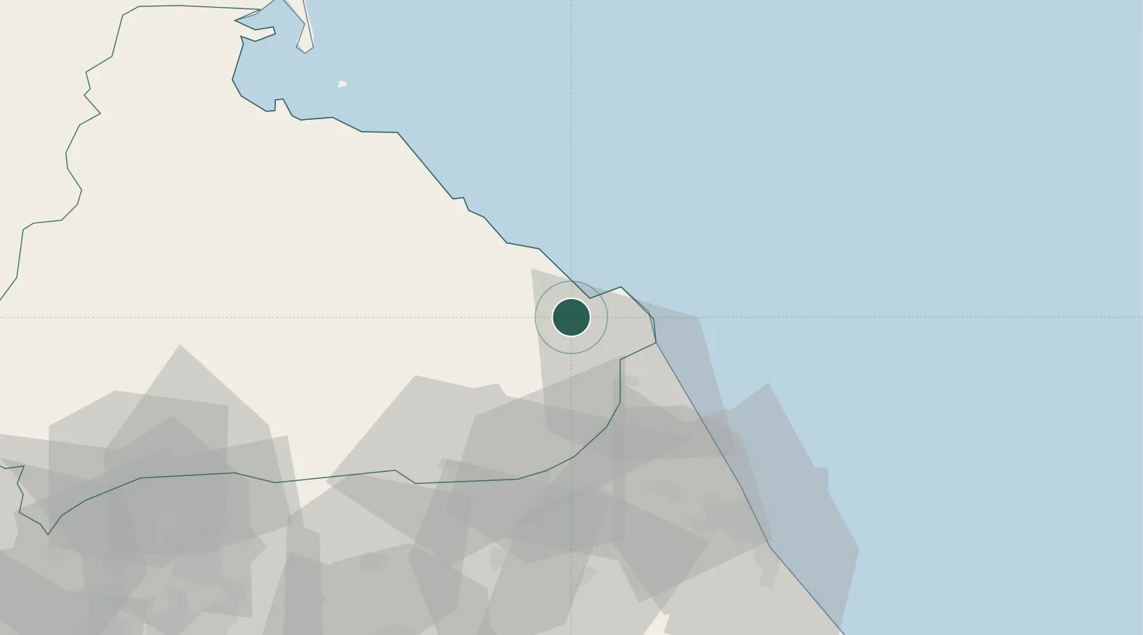
Hub Profile
Region
42
Location
Nearby Logistics Neighbours
Cities
- 1Goseong-gun44 km
- 2Yeoncheon-gun47 km
- 3Sokcho65 km
- 4Yanggu-gun67 km
- 5Hwacheon-gun77 km
Ports
- 1Sokch'o Hang66 km
- 2Wonsan82 km
- 3Hungnam136 km
- 4Mukho149 km
- 5Tonghae154 km
Airports
- 1Wonsan Kalma International Airport80 km
- 2Yangyang International Airport82 km
- 3Gangneung Airport (K-18)124 km
- 4Sondok Airport132 km
- 5Koksan Air Base136 km
Trade Zones
DatabookThe Record of Consolidated Knowledge
South Korea beyond logistics?