UN/LOCODE hub · South Korea
KRWND

Wando-gun

34.3000°, 126.7500°
2
Transport functions

Transport Functions

Port
Road
UN/LOCODE

Hub Profile

Region
46
GeoNames

Location

Location of KRWND
Natural Earth 10m (public domain) · 46 · KRWND · 34.30, 126.75GoogleOSMYandex

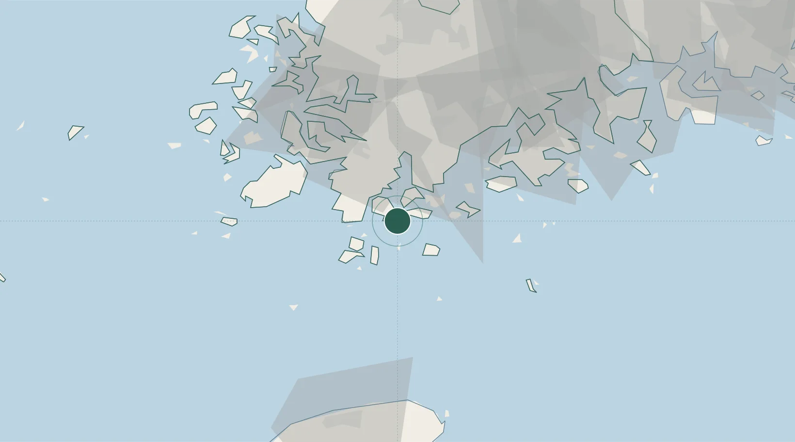
Nearby Logistics Neighbours

Cities
  1. 1Hwahungpo8 km
  2. 2Shinma17 km
  3. 3Galdoo21 km
  4. 4Nokdongsin43 km
  5. 5Jangheung-gun43 km
Nearest neighbours — logibook spatial index (haversine) over the source coordinates
Ports
  1. 1Mokpo63 km
  2. 2Gwangyang Hang114 km
  3. 3Kunsan188 km
  4. 4Masan193 km
  5. 5Chinae197 km
Nearest neighbours — logibook spatial index (haversine) over the source coordinates
Airports
  1. 1Muan International Airport84 km
  2. 2Jeju International Airport91 km
  3. 3Gwangju Airport92 km
  4. 4Yeosu Airport100 km
  5. 5Jeongseok Airport100 km
Nearest neighbours — logibook spatial index (haversine) over the source coordinates
Trade Zones
  1. 1Haenam Enterprise City of Tourism and Leisure33 km
  2. 2Jindo Export Processing Zone50 km
  3. 3Daebul Foreign Investment Zone59 km
  4. 4Daebul Foreign Investment Zone59 km
  5. 5Samho General Industrial Complex60 km
Nearest neighbours — logibook spatial index (haversine) over the source coordinates
DatabookThe Record of Consolidated Knowledge
South Korea beyond logistics?
Browse databook

All Sources

LocationsUN/LOCODE
UN/LOCODE — free
Portsthe NGA World Port Index
Public domain (US gov)
AirportsOurAirports
Public domain
Trade Zonesthe World Bank SEZ database
CC BY 4.0
Trade ZonesOpen Zone Map
CC BY
← South Korea locations