Large airport · South Korea

Jeju International AirportRKPC
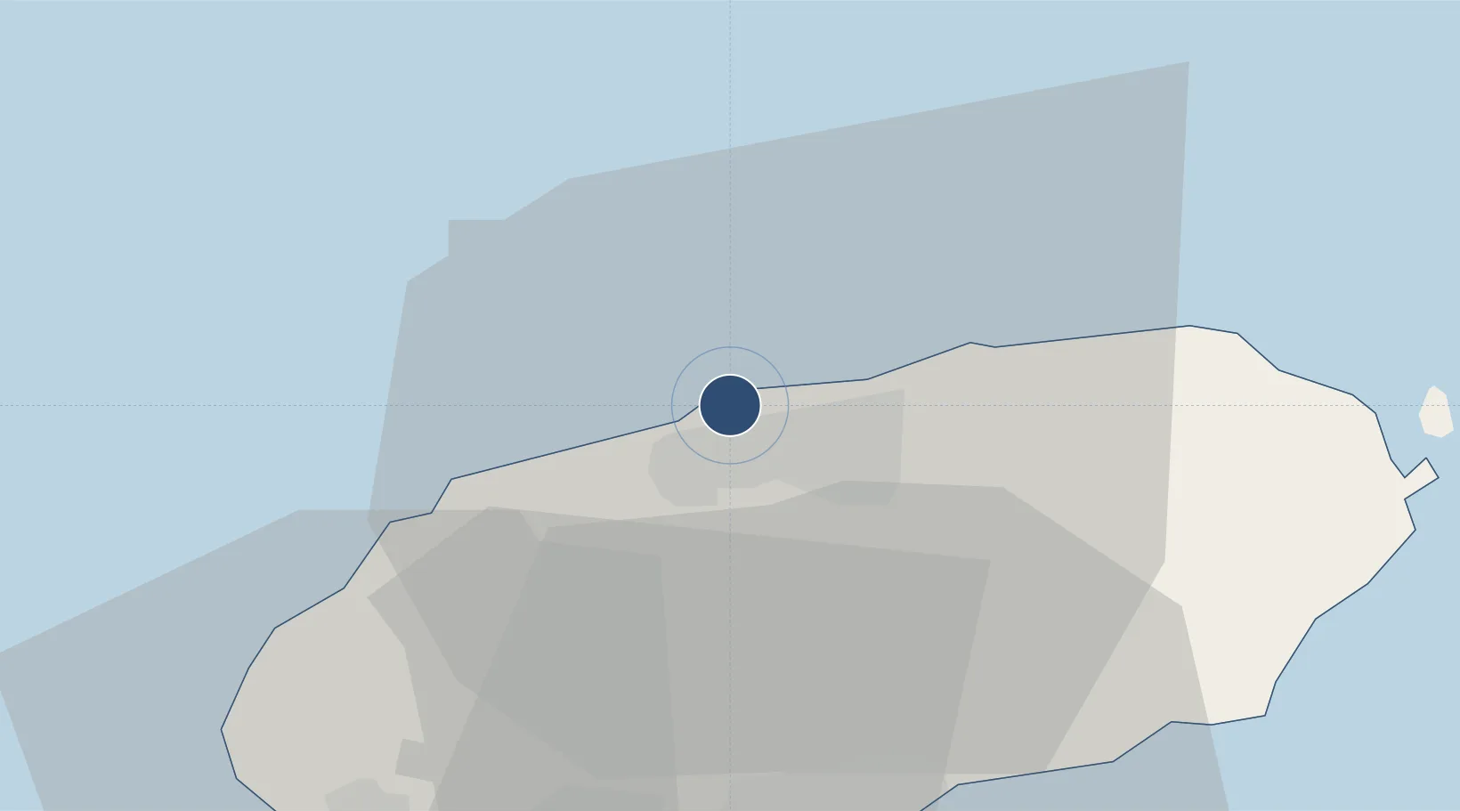
33.5121°, 126.4925°
10,433 ft
Longest runway
2
Runways
118 ft
Elevation

Runway & Layout

Jeju International Airport runway & taxiway layout
Runway & taxiway layout — OpenStreetMap (ODbL) / OurAirports

Radio Frequencies

ATIS
126.8 MHz
TWR
118.1 MHz
GND
121.65 MHz
APP
119 MHz
DEP
121.2 MHz
MISC
120 MHz
BRICKWALL
OurAirports

Navaids

CJU VORTAC Jeju 116.10 MHz
YDM VOR-DME Yongdam 109.00 MHz
OurAirports

Runways · 2

RunwayDimensions SurfaceTrue headingLit
07/25 10,433 × 148ft Asphalt 058°
13/31 6,268 × 148ft Asphalt 126°
OurAirports

Airport Specifications

IATA code
CJU
OurAirports
ICAO code
RKPC
OurAirports
Airport class
Large airport
OurAirports
Scheduled service
Yes
OurAirports
Runway surface
Asphalt
OurAirports
Served city
Jeju City
OurAirports

Location

Location of RKPC
Natural Earth 10m (public domain) · Jeju · RKPC · 33.51, 126.49GoogleOSMYandex

Nearby Logistics Neighbours

Airports
  1. 1Jeongseok Airport24 km
  2. 2Muan International Airport165 km
  3. 3Yeosu Airport181 km
  4. 4Gwangju Airport181 km
  5. 5Sacheon Airport / Sacheon Air Base228 km
Nearest neighbours — logibook spatial index (haversine) over the source coordinates
Cities
  1. 1Jeju3 km
  2. 2Kwangyang4 km
  3. 3Aewol18 km
  4. 4Hallim25 km
  5. 5Seogwipo31 km
Nearest neighbours — logibook spatial index (haversine) over the source coordinates
Ports
  1. 1Mokpo142 km
  2. 2Gwangyang Hang194 km
  3. 3Aokata247 km
  4. 4Masan266 km
  5. 5Chinae268 km
Nearest neighbours — logibook spatial index (haversine) over the source coordinates
Trade Zones
  1. 1Jeju Regulation-Free Zone3 km
  2. 2Woljeon Foreign Investment Zone24 km
  3. 3Jindo Export Processing Zone108 km
  4. 4Haenam Enterprise City of Tourism and Leisure118 km
  5. 5Samho General Industrial Complex137 km
Nearest neighbours — logibook spatial index (haversine) over the source coordinates
DatabookThe Record of Consolidated Knowledge
South Korea beyond logistics?
Browse databook

All Sources

AirportsOurAirports
Public domain
Portsthe NGA World Port Index
Public domain (US gov)
LocationsUN/LOCODE
UN/LOCODE — free
Trade Zonesthe World Bank SEZ database
CC BY 4.0
Trade ZonesOpen Zone Map
CC BY
InfrastructureOpenStreetMap
ODbL 1.0
← South Korea airports