UN/LOCODE hub · South Korea
KRSMA

Shinma

34.4333°, 126.8500°
1
Transport functions

Transport Functions

Port
UN/LOCODE

Hub Profile

Region
46
GeoNames

Location

Location of KRSMA
Natural Earth 10m (public domain) · 46 · KRSMA · 34.43, 126.85GoogleOSMYandex

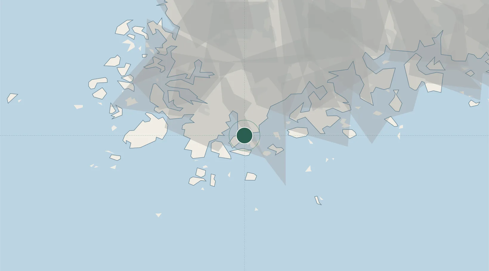
Nearby Logistics Neighbours

Cities
  1. 1Wando-gun17 km
  2. 2Hwahungpo22 km
  3. 3Jangheung-gun26 km
  4. 4Nokdongsin28 km
  5. 5Galdoo34 km
Nearest neighbours — logibook spatial index (haversine) over the source coordinates
Ports
  1. 1Mokpo58 km
  2. 2Gwangyang Hang98 km
  3. 3Kunsan174 km
  4. 4Masan178 km
  5. 5Chinae182 km
Nearest neighbours — logibook spatial index (haversine) over the source coordinates
Airports
  1. 1Muan International Airport75 km
  2. 2Gwangju Airport77 km
  3. 3Yeosu Airport84 km
  4. 4Jeju International Airport108 km
  5. 5Jeongseok Airport116 km
Nearest neighbours — logibook spatial index (haversine) over the source coordinates
Trade Zones
  1. 1Haenam Enterprise City of Tourism and Leisure28 km
  2. 2Daebul Foreign Investment Zone52 km
  3. 3Daebul Foreign Investment Zone53 km
  4. 4Samho General Industrial Complex55 km
  5. 5Jindo Export Processing Zone56 km
Nearest neighbours — logibook spatial index (haversine) over the source coordinates
DatabookThe Record of Consolidated Knowledge
South Korea beyond logistics?
Browse databook

All Sources

LocationsUN/LOCODE
UN/LOCODE — free
Portsthe NGA World Port Index
Public domain (US gov)
AirportsOurAirports
Public domain
Trade Zonesthe World Bank SEZ database
CC BY 4.0
Trade ZonesOpen Zone Map
CC BY
← South Korea locations