UN/LOCODE hub · South Korea
KRNDS

Nokdongsin

34.5167°, 127.1333°
1
Transport functions

Transport Functions

Port
UN/LOCODE

Hub Profile

Region
46
GeoNames

Location

Location of KRNDS
Natural Earth 10m (public domain) · 46 · KRNDS · 34.52, 127.13GoogleOSMYandex

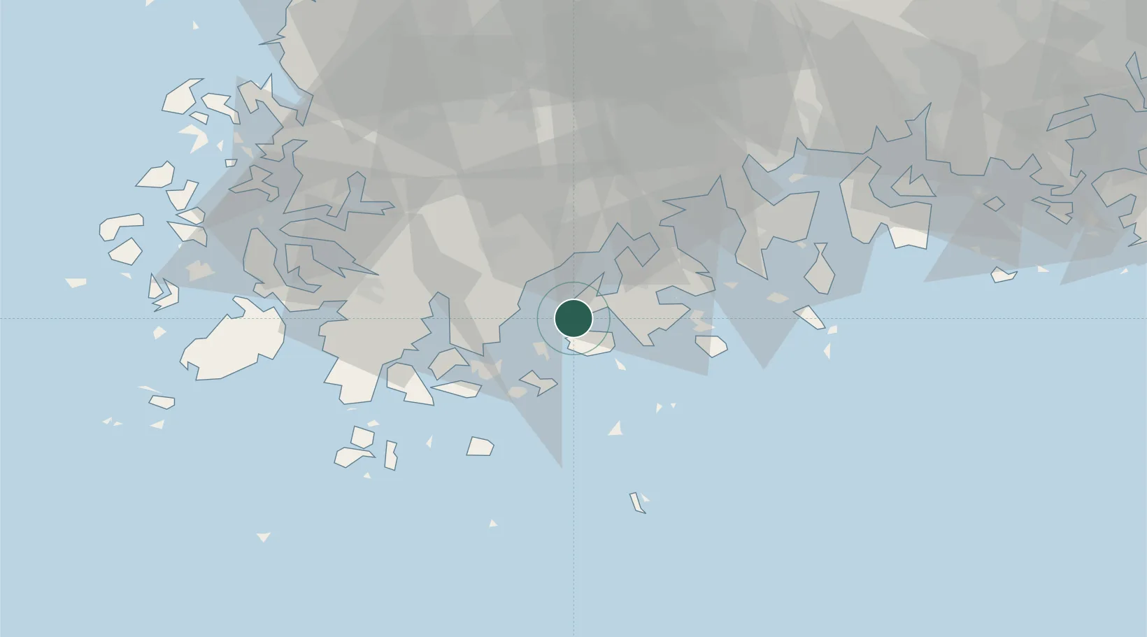
Nearby Logistics Neighbours

Cities
  1. 1Goheung-gun17 km
  2. 2Narodo18 km
  3. 3Jangheung-gun27 km
  4. 4Shinma28 km
  5. 5Wando-gun43 km
Nearest neighbours — logibook spatial index (haversine) over the source coordinates
Ports
  1. 1Gwangyang Hang71 km
  2. 2Mokpo75 km
  3. 3Masan150 km
  4. 4Chinae155 km
  5. 5Kunsan170 km
Nearest neighbours — logibook spatial index (haversine) over the source coordinates
Airports
  1. 1Yeosu Airport57 km
  2. 2Gwangju Airport74 km
  3. 3Muan International Airport87 km
  4. 4Sacheon Airport / Sacheon Air Base107 km
  5. 5Jeju International Airport126 km
Nearest neighbours — logibook spatial index (haversine) over the source coordinates
Trade Zones
  1. 1Haenam Enterprise City of Tourism and Leisure50 km
  2. 2Haeryong Industrial Complex59 km
  3. 3Yulchon 1 General Industrial Complex60 km
  4. 4Yeosu National Industrial Complex61 km
  5. 5Gwangyang Bay Area Free Economic Zone62 km
Nearest neighbours — logibook spatial index (haversine) over the source coordinates
DatabookThe Record of Consolidated Knowledge
South Korea beyond logistics?
Browse databook

All Sources

LocationsUN/LOCODE
UN/LOCODE — free
Portsthe NGA World Port Index
Public domain (US gov)
AirportsOurAirports
Public domain
Trade Zonesthe World Bank SEZ database
CC BY 4.0
Trade ZonesOpen Zone Map
CC BY
← South Korea locations