Transport Functions
Rail
Road
Hub Profile
Region
46
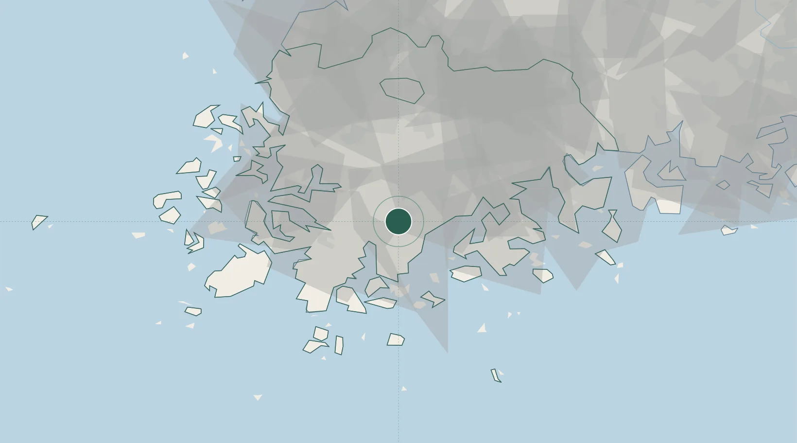
Location
Nearby Logistics Neighbours
Cities
- 1Yeongam-gun22 km
- 2Shinma26 km
- 3Nokdongsin27 km
- 4Muan-gun36 km
- 5Goheung-gun36 km
Ports
- 1Mokpo49 km
- 2Gwangyang Hang82 km
- 3Kunsan149 km
- 4Masan162 km
- 5Chinae168 km
Airports
- 1Gwangju Airport52 km
- 2Muan International Airport59 km
- 3Yeosu Airport68 km
- 4Sacheon Airport / Sacheon Air Base117 km
- 5Jeju International Airport134 km
DatabookThe Record of Consolidated Knowledge
South Korea beyond logistics?