Medium airport · South Korea

Jeongseok AirportRKPD
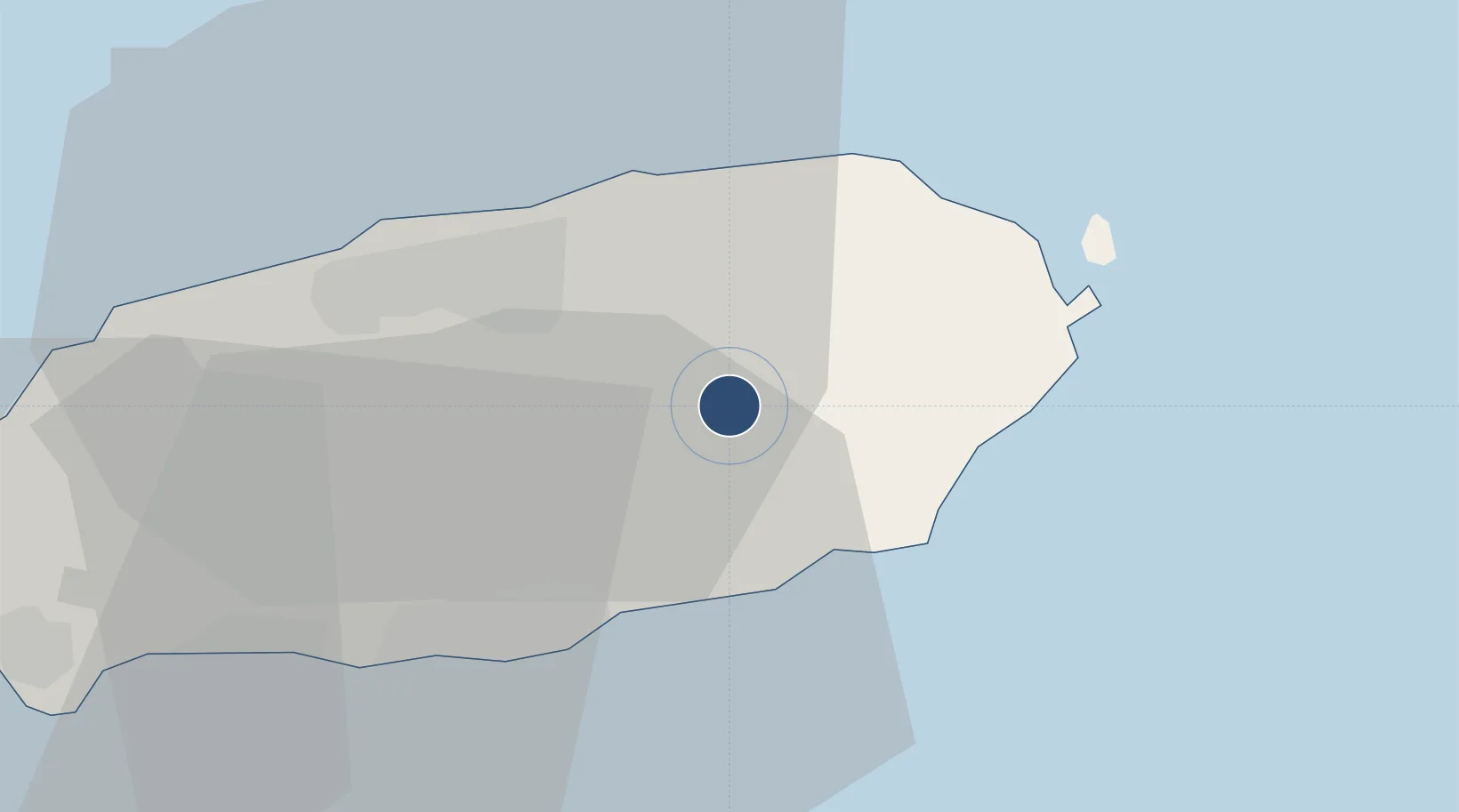
33.3996°, 126.7120°
7,589 ft
Longest runway
2
Runways
1,171 ft
Elevation

Runway & Layout

Jeongseok Airport runway & taxiway layout
Runway & taxiway layout — OpenStreetMap (ODbL) / OurAirports

Radio Frequencies

ATIS
128.25 MHz
TWR
130.5 MHz
APP
119 MHz
JEJU APP
DEP
121.2 MHz
JEJU DEP
OurAirports

Navaids

JDG VOR-DME Jedong 117.90 MHz
OurAirports

Runways · 2

RunwayDimensions SurfaceTrue headingLit
01/19 7,589 × 149ft Asphalt 360°
15/33 4,974 × 80ft Asphalt 142°
OurAirports

Airport Specifications

IATA code
JDG
OurAirports
ICAO code
RKPD
OurAirports
Airport class
Medium airport
OurAirports
Scheduled service
No
OurAirports
Runway surface
Asphalt
OurAirports
Served city
Jeju Island
OurAirports

Location

Location of RKPD
Natural Earth 10m (public domain) · Jeju · RKPD · 33.40, 126.71GoogleOSMYandex

Nearby Logistics Neighbours

Airports
  1. 1Jeju International Airport24 km
  2. 2Muan International Airport180 km
  3. 3Yeosu Airport181 km
  4. 4Gwangju Airport192 km
  5. 5Fukue Airport214 km
Nearest neighbours — logibook spatial index (haversine) over the source coordinates
Cities
  1. 1Seongsan-po20 km
  2. 2Kwangyang20 km
  3. 3Jeju21 km
  4. 4Seogwipo24 km
  5. 5Aewol37 km
Nearest neighbours — logibook spatial index (haversine) over the source coordinates
Ports
  1. 1Mokpo157 km
  2. 2Gwangyang Hang193 km
  3. 3Aokata224 km
  4. 4Izuhara255 km
  5. 5Masan262 km
Nearest neighbours — logibook spatial index (haversine) over the source coordinates
Trade Zones
  1. 1Woljeon Foreign Investment Zone18 km
  2. 2Jeju Regulation-Free Zone21 km
  3. 3Jindo Export Processing Zone126 km
  4. 4Haenam Enterprise City of Tourism and Leisure130 km
  5. 5Samho General Industrial Complex152 km
Nearest neighbours — logibook spatial index (haversine) over the source coordinates
DatabookThe Record of Consolidated Knowledge
South Korea beyond logistics?
Browse databook

All Sources

AirportsOurAirports
Public domain
Portsthe NGA World Port Index
Public domain (US gov)
LocationsUN/LOCODE
UN/LOCODE — free
Trade Zonesthe World Bank SEZ database
CC BY 4.0
Trade ZonesOpen Zone Map
CC BY
InfrastructureOpenStreetMap
ODbL 1.0
← South Korea airports