UN/LOCODE hub · South Korea
KRHHP

Hwahungpo

34.3000°, 126.6667°
1
Transport functions

Transport Functions

Port
UN/LOCODE

Hub Profile

Region
46
GeoNames

Location

Location of KRHHP
Natural Earth 10m (public domain) · 46 · KRHHP · 34.30, 126.67GoogleOSMYandex

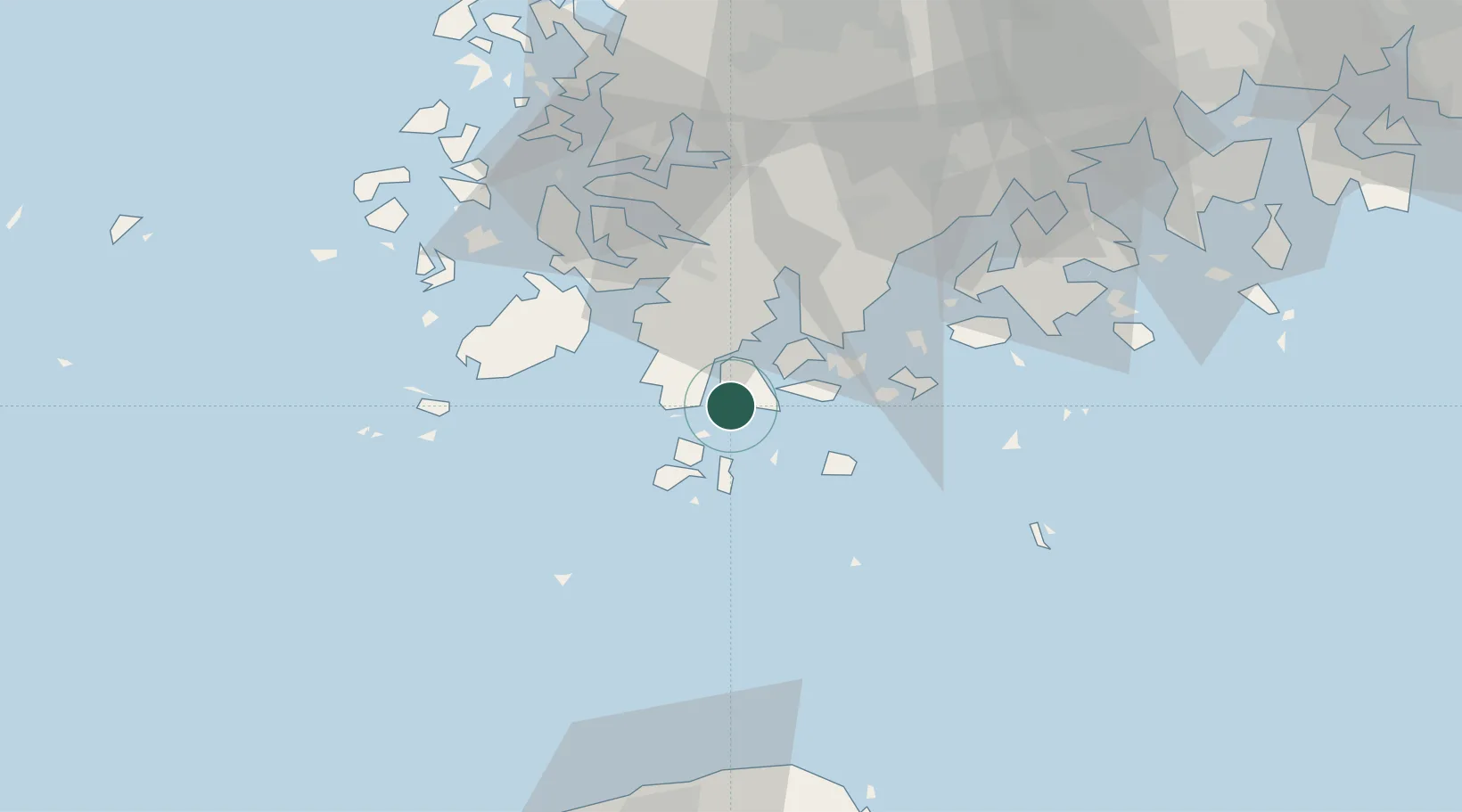
Nearby Logistics Neighbours

Cities
  1. 1Wando-gun8 km
  2. 2Galdoo14 km
  3. 3Shinma22 km
  4. 4Jindo-gun43 km
  5. 5Jangheung-gun46 km
Nearest neighbours — logibook spatial index (haversine) over the source coordinates
Ports
  1. 1Mokpo60 km
  2. 2Gwangyang Hang120 km
  3. 3Kunsan187 km
  4. 4Masan200 km
  5. 5Chinae204 km
Nearest neighbours — logibook spatial index (haversine) over the source coordinates
Airports
  1. 1Muan International Airport81 km
  2. 2Jeju International Airport89 km
  3. 3Gwangju Airport92 km
  4. 4Jeongseok Airport100 km
  5. 5Yeosu Airport106 km
Nearest neighbours — logibook spatial index (haversine) over the source coordinates
Trade Zones
  1. 1Haenam Enterprise City of Tourism and Leisure31 km
  2. 2Jindo Export Processing Zone43 km
  3. 3Daebul Foreign Investment Zone56 km
  4. 4Samho General Industrial Complex56 km
  5. 5Daebul Foreign Investment Zone56 km
Nearest neighbours — logibook spatial index (haversine) over the source coordinates
DatabookThe Record of Consolidated Knowledge
South Korea beyond logistics?
Browse databook

All Sources

LocationsUN/LOCODE
UN/LOCODE — free
Portsthe NGA World Port Index
Public domain (US gov)
AirportsOurAirports
Public domain
Trade Zonesthe World Bank SEZ database
CC BY 4.0
Trade ZonesOpen Zone Map
CC BY
← South Korea locations