Industrial Complex · South Korea

Samho General Industrial Complex
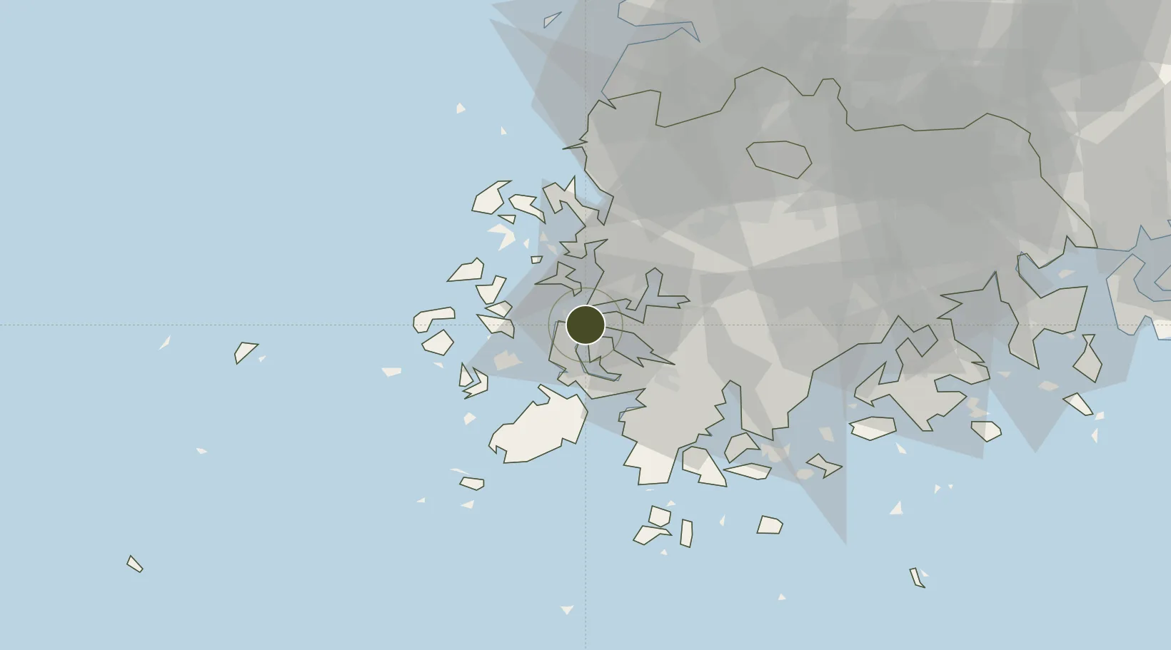
34.7411°, 126.3738°
293 ha
Zone area
4.8 km
Nearest port
27.8 km
Nearest airport

Gateway access

Nearest neighbours — logibook spatial index (haversine) over the source coordinates

Zone profile

Zone type
Industrial Complex
the World Bank SEZ database
Region
South Jeolla
the World Bank SEZ database
Established
1998
the World Bank SEZ database
Management
Private management
the World Bank SEZ database
Operator
Hyundai Samho Heavy Industries Co., Ltd
the World Bank SEZ database
Regulatory authority
National, provincial or city-level governments
the World Bank SEZ database
Legal framework
Industrial Sites and Development Act, and the Industrial Placement and Factory Act
the World Bank SEZ database

Location

Location of KOR91
Natural Earth 10m (public domain) · South Jeolla · KOR91 · 34.74, 126.37GoogleOSMYandex

Fiscal & incentives

Corporate tax
22%
the World Bank SEZ database
Tax relief
100% exempt
the World Bank SEZ database
Relief duration
5 years
the World Bank SEZ database
VAT
No exemption
the World Bank SEZ database
Import duty (inputs)
0% exempt
the World Bank SEZ database
Import duty (capex)
100% exempt
the World Bank SEZ database
Profit repatriation
No exemption
the World Bank SEZ database
Capital gains
No exemption
the World Bank SEZ database
Withholding tax
No exemption
the World Bank SEZ database
Min. investment
$30M
the World Bank SEZ database
Min. export
0%
the World Bank SEZ database
Employment incentive
Employment and training subsidies available to companies that newly employ 20 more individuals
the World Bank SEZ database
Developer incentive
No established framework
the World Bank SEZ database

Nearby Logistics Neighbours

Ports
  1. 1Mokpo5 km
  2. 2Gwangyang Hang127 km
  3. 3Kunsan140 km
  4. 4Masan206 km
  5. 5Chinae212 km
Nearest neighbours — logibook spatial index (haversine) over the source coordinates
Airports
  1. 1Muan International Airport28 km
  2. 2Gwangju Airport58 km
  3. 3Yeosu Airport114 km
  4. 4Gunsan Airport / Gunsan Air Base131 km
  5. 5Jeju International Airport137 km
Nearest neighbours — logibook spatial index (haversine) over the source coordinates
Cities
  1. 1Sinan-gun5 km
  2. 2Daebul/Yeongam-gun6 km
  3. 3Mokpo7 km
  4. 4Songgong18 km
  5. 5Yeongam-gun30 km
Nearest neighbours — logibook spatial index (haversine) over the source coordinates
Trade Zones
  1. 1Daebul Foreign Investment Zone7 km
  2. 2Daebul Foreign Investment Zone7 km
  3. 3Haenam Enterprise City of Tourism and Leisure28 km
  4. 4South Jeolla Regulation-Free Zone32 km
  5. 5Jindo Export Processing Zone33 km
Nearest neighbours — logibook spatial index (haversine) over the source coordinates
DatabookThe Record of Consolidated Knowledge
South Korea beyond logistics?
Browse databook

All Sources

Trade Zonesthe World Bank SEZ database
CC BY 4.0
Portsthe NGA World Port Index
Public domain (US gov)
AirportsOurAirports
Public domain
LocationsUN/LOCODE
UN/LOCODE — free
← South Korea trade zones