Transport Functions
Port
Hub Profile
Region
46
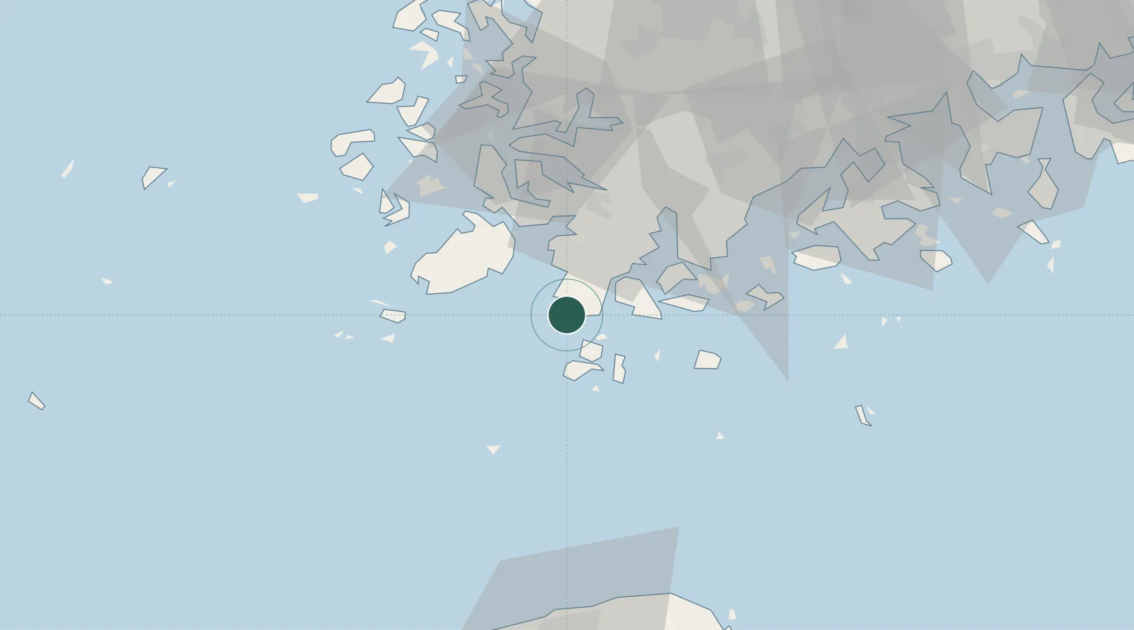
Location
Nearby Logistics Neighbours
Ports
- 1Mokpo55 km
- 2Gwangyang Hang132 km
- 3Kunsan187 km
- 4Masan212 km
- 5Chinae216 km
Airports
- 1Muan International Airport78 km
- 2Jeju International Airport88 km
- 3Gwangju Airport95 km
- 4Jeongseok Airport102 km
- 5Yeosu Airport117 km
DatabookThe Record of Consolidated Knowledge
South Korea beyond logistics?