Transport Functions
Rail
Road
Hub Profile
Region
47
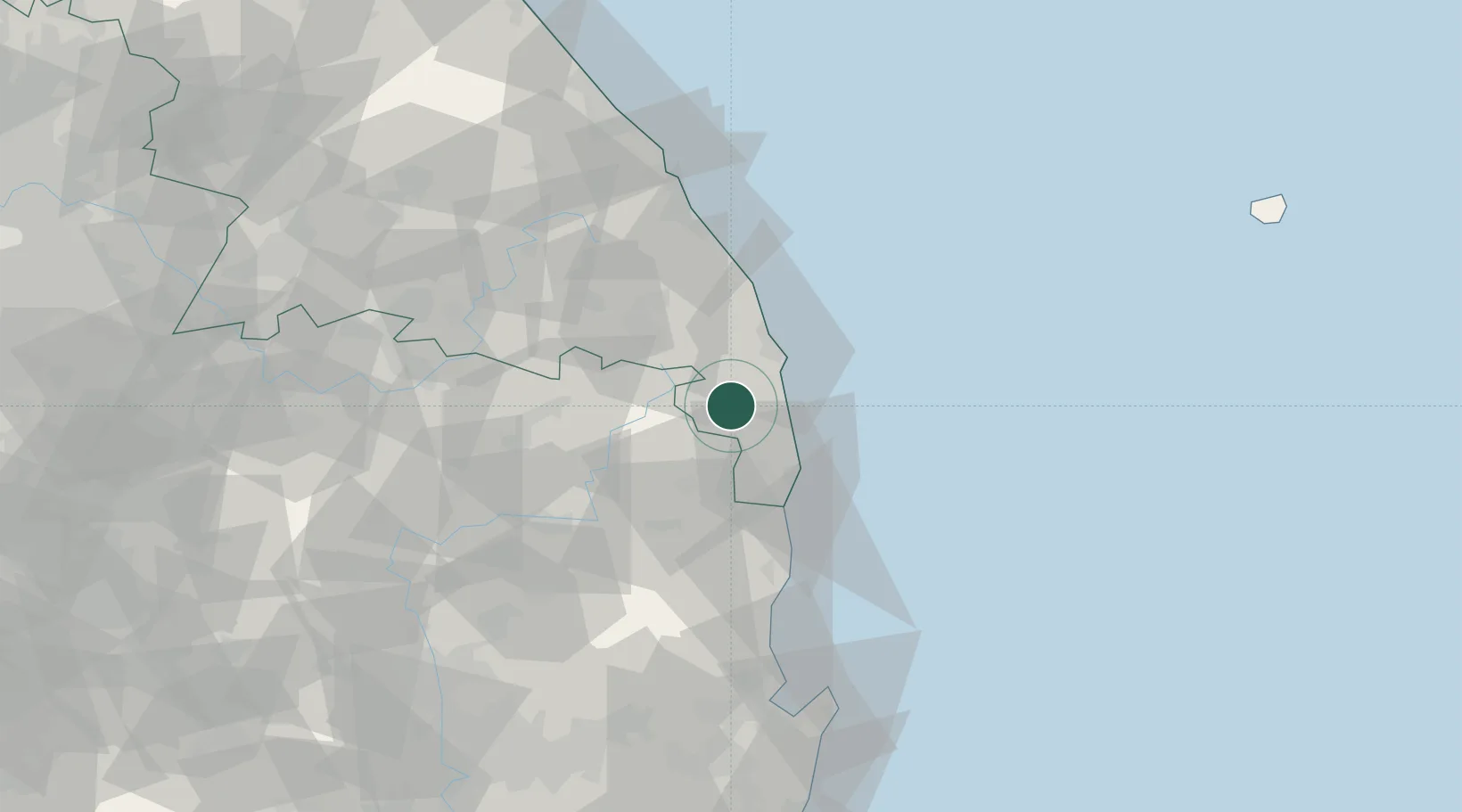
Location
Nearby Logistics Neighbours
Cities
- 1Hosan29 km
- 2Hupo32 km
- 3Taebaek38 km
- 4Yeongyang-gun52 km
- 5Cheongsong-gun55 km
Ports
- 1Tonghae69 km
- 2Mukho74 km
- 3Pohang97 km
- 4Sokch'o Hang154 km
- 5Ulsan164 km
Airports
- 1Yecheon Airbase88 km
- 2Gangneung Airport (K-18)97 km
- 3Pohang Airport (G-815/K-3)104 km
- 4Jungwon Air Base/Chungju Airport123 km
- 5Daegu International Airport126 km
DatabookThe Record of Consolidated Knowledge
South Korea beyond logistics?