Transport Functions
Rail
Road
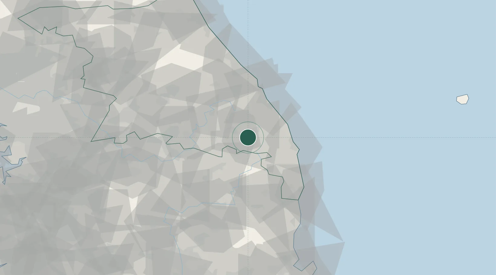
Hub Profile
Place type
Populated place
Region
Gangwon-do
Population
48,962
Time zone
Asia/Seoul
Elevation
691 m
Location
Nearby Logistics Neighbours
Cities
- 1Hosan33 km
- 2Samcheok35 km
- 3Jeongseon-gun37 km
- 4Donghae37 km
- 5Uiseong-gun38 km
Ports
- 1Tonghae43 km
- 2Mukho46 km
- 3Sokch'o Hang120 km
- 4Pohang129 km
- 5Ulsan195 km
Airports
DatabookThe Record of Consolidated Knowledge
South Korea beyond logistics?