Transport Functions
Port
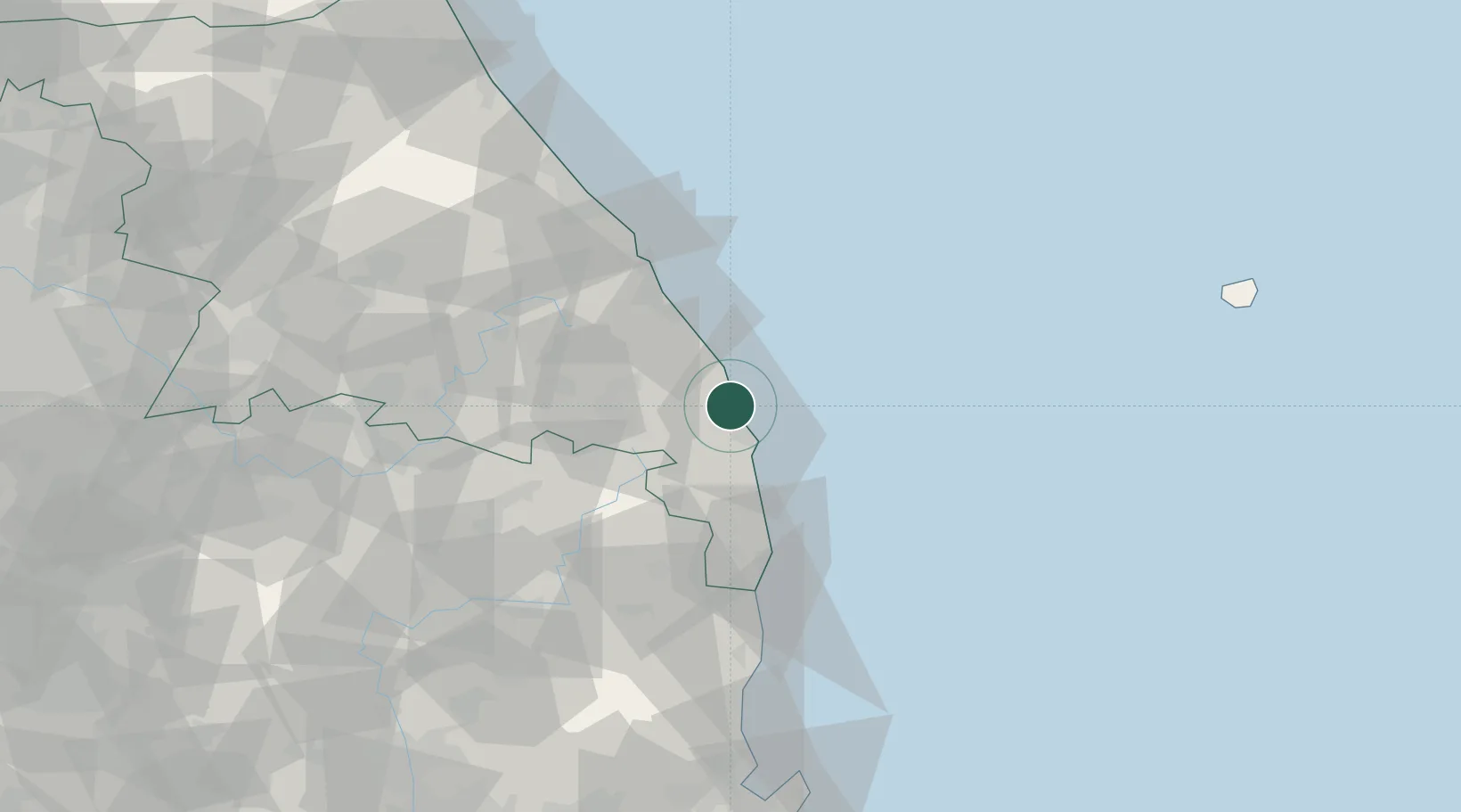
Hub Profile
Place type
Populated place
Region
Gangwon-do
Time zone
Asia/Seoul
Elevation
8 m
Location
Nearby Logistics Neighbours
Cities
- 1Uiseong-gun29 km
- 2Taebaek33 km
- 3Samcheok33 km
- 4Donghae41 km
- 5Bupyong/Incheon42 km
Ports
- 1Tonghae44 km
- 2Mukho49 km
- 3Pohang124 km
- 4Sokch'o Hang133 km
- 5Ulsan191 km
Airports
DatabookThe Record of Consolidated Knowledge
South Korea beyond logistics?