Transport Functions
Port
Road
Hub Profile
Region
49
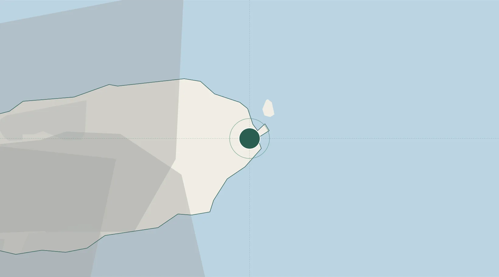
Location
Nearby Logistics Neighbours
Ports
- 1Mokpo156 km
- 2Gwangyang Hang179 km
- 3Aokata207 km
- 4Izuhara235 km
- 5Masan245 km
Airports
- 1Jeongseok Airport20 km
- 2Jeju International Airport40 km
- 3Yeosu Airport168 km
- 4Muan International Airport178 km
- 5Gwangju Airport186 km
Trade Zones
DatabookThe Record of Consolidated Knowledge
South Korea beyond logistics?